Tropical Storm Nalgae (#PaengPH) drawing closer to the Philippines
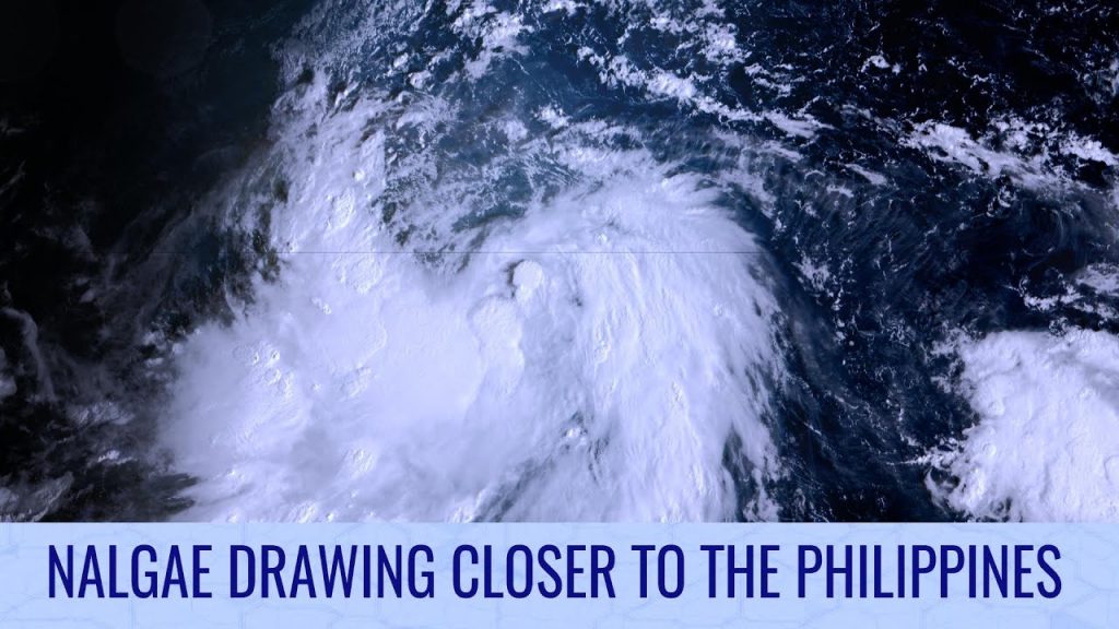
Tropical Storm Nalgae formed yesterday in the Philippine Sea, and is quickly closing in on a potential landfall in Catanduanes tomorrow morning, before it moves on towards the rest of Luzon. Whilst the first landfall is not guaranteed, strong winds are expected on the island and in neighboring regions, where Signal 2 warnings are now in place. At the moment, Nalgae has a very broad influence and large booming cloud tops over the Visayas and southern Luzon, producing very heavy flooding rains. This is set to continue in the next few days, with rainfall totals of 25 inches (625mm) possible in Quezon and Aurora.
Elsewhere, two areas of interest remain active in the Atlantic, although model support has dropped substantially. Development cannot be ruled out though, particularly for the Caribbean disturbance given the oceanic energy still available.
In the Southern Indian Ocean, a new tropical cyclone could form southwest of Indonesia early next week, and travel towards Australia before recurving well away from land.
Watch our full Tropical Weather Bulletin using this link: https://www.youtube.com/watch?v=ukX5BNVCUak
