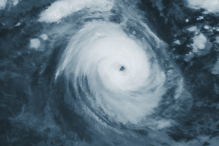
Cyclone Faraji intensifies into category 5 status

Cyclone Faraji has beaten all the odds, as the storm intensified into a category 5-equivalent tropical cyclone in the Indian Ocean.
Faraji is currently located near 14.2 degrees south, 82.5 degrees east, approximately 727 nautical miles to the southeast of Diego Garcia, with maximum sustained winds of 160 mph (260 km/h) 1-minute sustained, with sustained gusts up to 195 mph (315 km/h), and a minimum central pressure of 920 millibars, according to the Joint Typhoon Warning Center. Meteo-France, the Regional Specialized Meteorological Centre (RSMC) of the basin, has Faraji at very intense tropical cyclone status, the highest in their scale, with maximum winds of 145 mph (230 km/h) 10-minute sustained and a minimum central pressure of 927 millibars. The storm is currently moving east at 6 mph (9 km/h), and is no threat to land as of right now.

Stay tuned for updates. You could also track Faraji real-time in our Cyclone Tracker: Cyclone Tracker – Force Thirteen (force-13.com)
References:
- The Joint Typhoon Warning Center’s 09z text advisory for Faraji: https://www.metoc.navy.mil/jtwc/products/sh1921web.txt
- The Joint Typhoon Warning Center’s forecast cone for Faraji: sh1921.gif (1636×948) (navy.mil)
- The Meteo-France’s 18z advisory for Faraji: http://www.meteo.fr/temps/domtom/La_Reunion/webcmrs9.0/anglais/activiteope/bulletins/cmrs/CMRSA_202102081800_FARAJI.pdf
