Cyclone threats continue in Australia and Philippines – Tropical Weather Bulletin – April 11, 2023

A fledging tropical cyclone continues to lurk off the Kimberley coast in Western Australia, and is intensifying slowly as it continues to struggle with its structure. Models still insist that the storm will rapidly intensify and reach Category 4 status as it draws near to landfall along Eighty Mile Beach on Thursday, but chances will sharply decrease if the storm fails to begin this intensification by the end of Tuesday. Over 300mm of rainfall is expected in the landfall area, east of Port Hedland, and persist in fair amounts well inland as the storm veers eastwards. Latest trends have continued further north, and the storm’s remnants may even arrive in southern Queensland by the weekend.
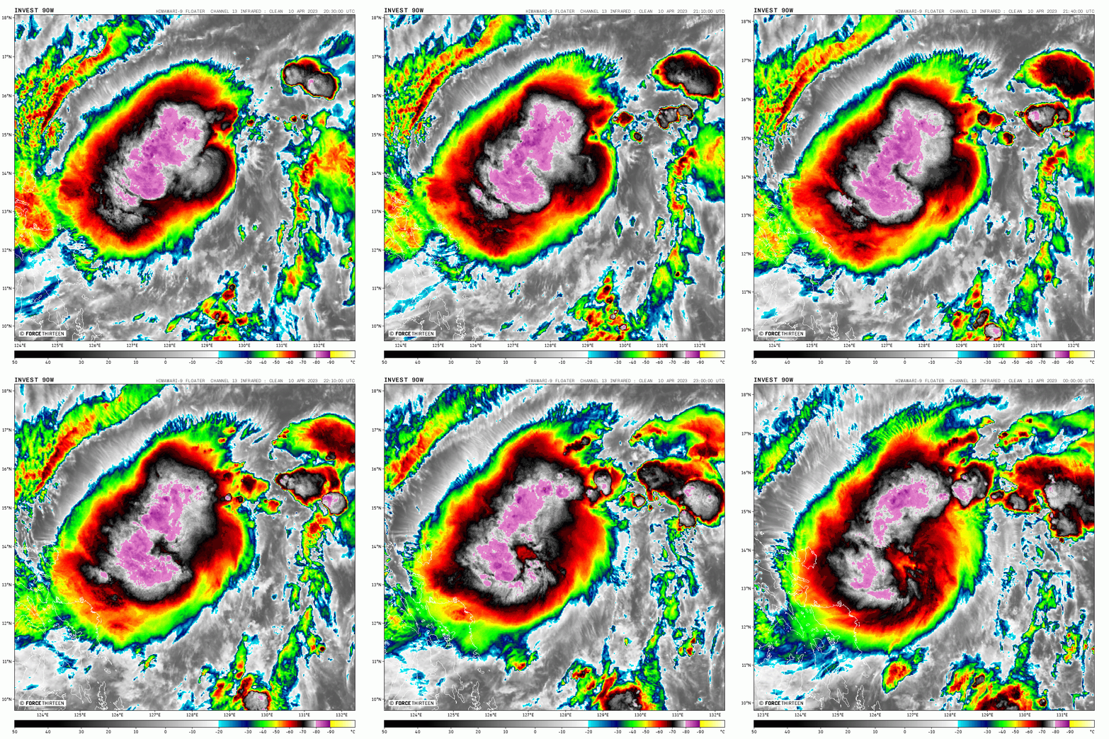
Elsewhere, a tropical cyclone is likely forming near the Philippines today, and will impact Catanduanes and southern Luzon over the next couple of days. The system is not likely to gain much intensity, but its formation has so far been poorly predicted, and the storm could become a major rainmaker for the region.
In addition, another area of interest formed today, well out at sea near eastern Micronesia. This system is becoming more likely to develop late this week or at the weekend and gradually move northwards, away from any land areas.
Watch our full Tropical Weather Bulletin using this link: https://www.youtube.com/watch?v=wuK7NPXoAbQ
