CIMSS is updating their GOES satellite data ahead of the 2024 Hurricane Season.
Some products may be affected.

Cyclone Tracking Homepage
Viewing the latest information and products on
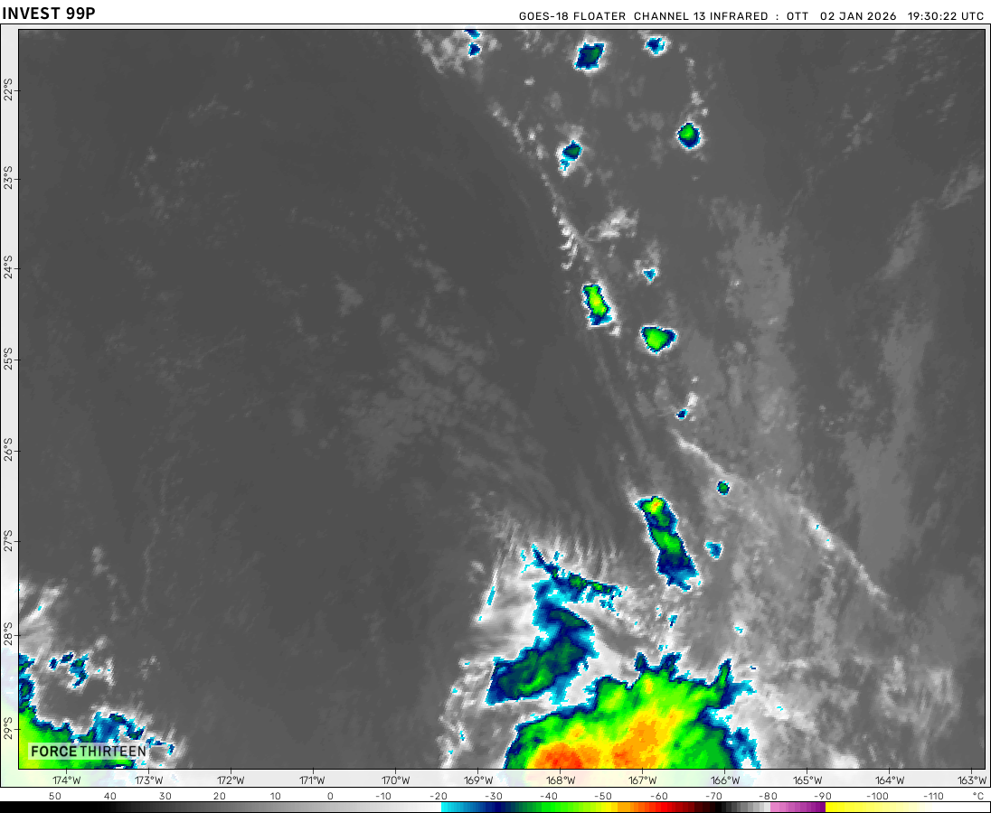
As of 00:31 UTC on April 19th, Invest 99P was located near 8.6°S, 134.6°E, or approximately 295 miles (475 km) north-northwest of Gove Airport, Northern Territory. 99P has maximum sustained winds of 15 knots and a minimum central pressure of 1008 millibars.
99P currently lies over sea surface temperatures of around 29°C (84.2°F).ATCF®
 View more imageryAnimated GIF
 View more TPW productsAnimated GIF
 View more radar productsAnimated GIF
 View more SST products
 View more surface plot products


this one is dead
Wait, is that me?
Ilsa vibes from 98S, also is this gonna be subtropical storm?
Possibly?
When are you going to do the 2021, 2022, and 2023 worldwide cyclone season animations?
I got 4 cat 5’s in a eastern pacific scratch season
Also 2023
2023 Annular
Did you see 2024 eclipse?
Yes
the same eclipse has Annular charicteristics.
totality?
Eclipse Monday the 8, 2 days ago
You’re back!
Hi yall im back
97P kinda getting organized here
AUS Region: OLGA!
NATL in 2025: After we had Cat 5 hurricane Nestor, the next name is Olga.
SWIO: U just had Neville! Du you want one of them to turn unexpectedly to u Australia?
SPAC: YEAH AUSTRALIA!
Me: SPAC, IM WAITING FOR PITA! YO SPAC WHEN YOU WILL PRODUCE PITA?!?!
SPAC; Probably 2024-25
Me: What!?!?
AUSTRALIA: [Summons Paul [Hurdles to SPAC]
Fiji: NOOOOOOOOOOOOOOOOOOOOOOOOOOOOOOOOOOO!!!!1234567890@#$&*()%-+=/;:,.€£¥_^[]{}§|…\<>!?
Explosion Meme
Paul: (Continues battering Fiji)
Fiji turns into Cyclone
Cyclone Fiji Batters Australia at 1160 mph -1 mbar