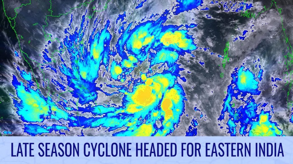
Developing Cyclone Headed for Eastern India – December 2, 2023

A tropical disturbance that we’ve been monitoring for several days is finally coming together, and is likely to become a tropical cyclone later today. By the end of the weekend, the storm is likely to make landfall near or to the north of Chennai, before pulling inland and turning northwards, where it will die out fairly quickly. Before it strikes, winds within the storm could reach 60 miles per hour (100kph), and rainfall totals could reach 14 inches (350mm) near the western and southern sides of the storm’s core.
In the South Pacific, another tropical disturbance is starting to take shape as it heads towards the Solomon Islands. The system is likely to quickly develop into a tropical cyclone, and strengthen further before pulling away into the Coral Sea. It is possible that this potential storm could reach hurricane strength whilst still over some of the islands. At the moment, models are supportive of further and potentially rapid strengthening in the Coral Sea, towards Category 3 status next week. The late part of the forecast remains very uncertain, but at the moment storm impacts cannot be ruled out anywhere from Mackay to Sydney, and for New Caledonia.
Watch our full Tropical Weather Bulletin using this link: https://www.youtube.com/watch?v=N5VgfYEjA8I
