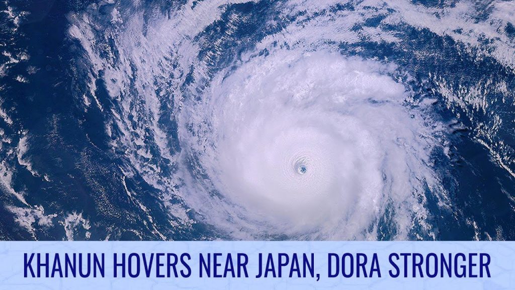
Khanun hovers near Japan, Dora reaches another peak – August 7, 2023 TWB Update

Tropical Storm Khanun remains very large, with an enormous eye as it swirls to the east of the Amami islands of Japan. Even though weaker, the storm is still expected to deliver widespread dangerous winds and very heavy rainfall, particularly on Kyushu and onto the Korean Peninsula. Rainfall totals are likely to exceed 20 inches (500mm) in some locations, and Khanun could restrengthen towards typhoon status one more time as it passes just west of Kyushu.
Elsewhere, Hurricane Dora remains rampant, but thankfully far away from any land areas. The storm is a Category 4 with winds near 130 miles per hour sustained, and a pressure in the low 940s. The tiny storm has a formidable structure with annular characteristics, a thick eyewall, and a deep eye, and its visual appearance is outstanding. The storm is expected to pass well south of Hawaii and shouldn’t be a threat to any other areas.
To the east of Khanun, another typhoon is expected to develop this week, and could seriously affect the Ogasawara islands in the middle of the week. The storm could rapidly intensify and then stall near these islands, delivering up to 28 inches (700mm) of rainfall, and could then move towards Japan and make landfall somewhere near Tokyo.
Tropical Storm Eugene neared hurricane status earlier today, but is now expected to rapidly weaken as it starts to pull away from Baja California Sur. The storm is expected to be no more by the 48-hour mark.
Watch the full TWB video here: https://youtu.be/eYaWe_GYmLc
