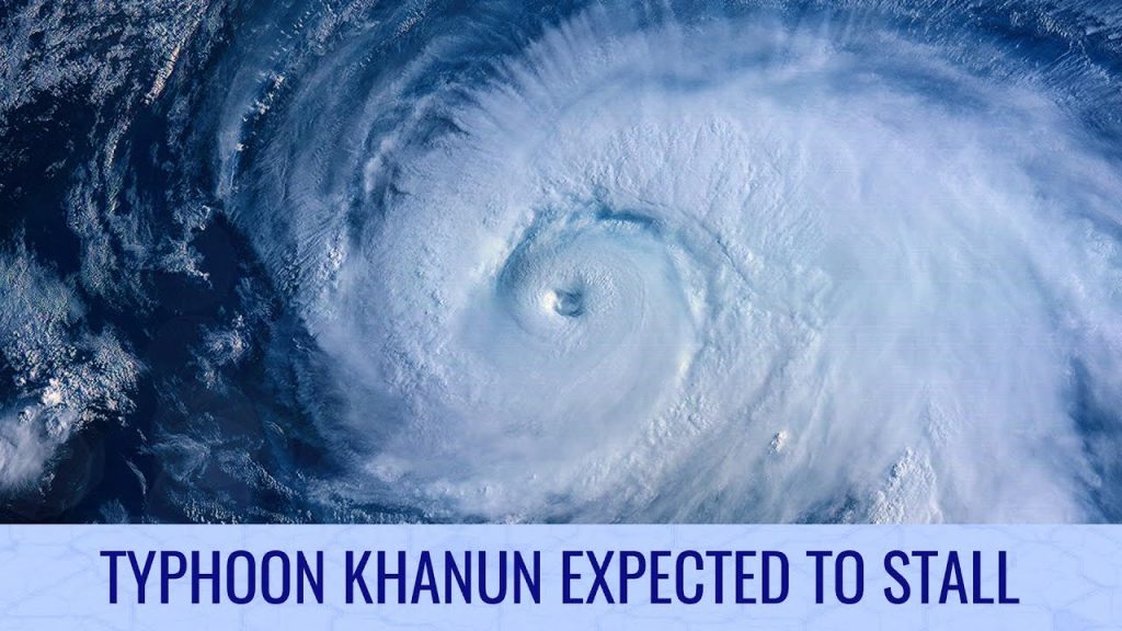
Typhoon Khanun Expected to Stall This Week – Tropical Weather Bulletin – August 2nd

Typhoon Khanun remains impressive on satellite imagery, but is weakening a little as it crawls past Okinawa and into the East China Sea. The storm’s motion is very uncertain looking forward, with a stalling motion expected for several days. The nature of this motion will determine how much strength the storm will maintain, and the areas implicated in its potential impacts. The best forecast at this time is for the storm to stall and turn roughly back on itself, putting Okinawa under the worst conditions for an extended time period with very large amounts of rainfall – potentially 40 inches (1000mm) on top of current values. Later in the storm’s track, Khanun is likely to either continue eastwards along the southern Japan coast, or swivel back around to the west and make landfall south of Shanghai, China.
Another storm could branch out of Khanun’s influence to the east, and at present some models suggest that it could become a potent tropical storm on its own and affect southern or eastern Japan this weekend or early next week.
In the Eastern Pacific, compact Tropical Storm Dora is intensifying, and could reach hurricane status soon if the internal structure improves. The storm’s small size and current position is very favourable for rapid intensification as it moves out to sea. Behind Dora, another area of interest now has a half chance of becoming a tropical cyclone, with some models depicting a mature hurricane by early next week. The coast of Mexico could receive some difficult conditions from this potential storm, but it should largely remain at sea.
Watch our Tropical Weather Bulletin in full by using this link: https://www.youtube.com/watch?v=rIzXbjaaWtQ
