Severe Weather, Bomb Cyclone Threaten US This Week
Severe weather produced hazards across the United States this week, as tornadoes and severe thunderstorms struck the ArkLaTex area of the Southeast. As we head into later this week, a severe risk exists around California and portions around the East Coast from Florida through Massachusetts, as a strong low pressure system drifts into Canada. Meanwhile, a dangerous atmospheric river event is inbound towards California including the San Francisco Bay Area.
Across the East Coast, severe thunderstorm watches have been issued in some areas around the Florida Panhandle, as the strongest storms within the broken line of the storm system pose the risk for strong winds, hail, and a few tornadoes. During the day Wednesday, Florida remained under a tornado watch. Farther north just across the northeast of North Carolina, temperatures have warmed into the mid-70s, fueling the development of additional strong storms. Strong to severe storms are expected to form within the line of the broken storms, as it resumes going northward into far southwest of Virginia. Similar to Florida’s hazards, there will be strong, damaging gusts of wind and potentially one or two tornadoes.
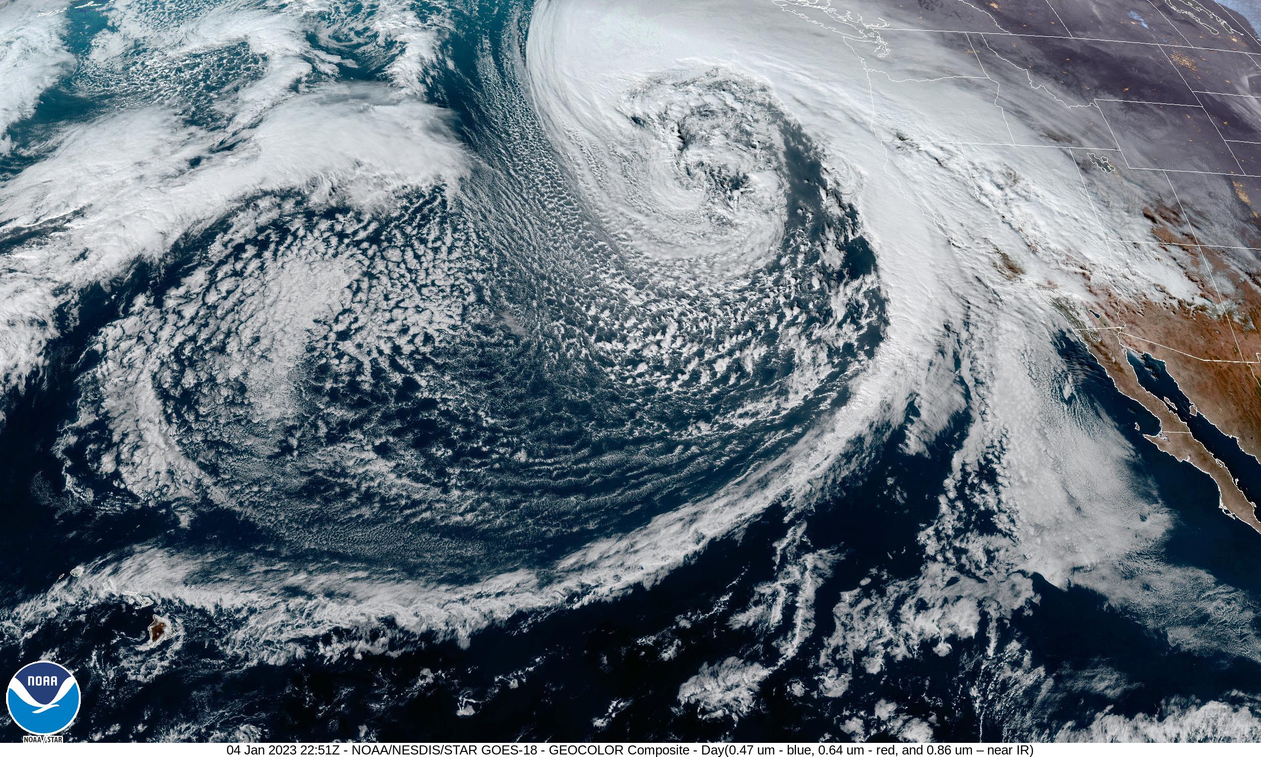
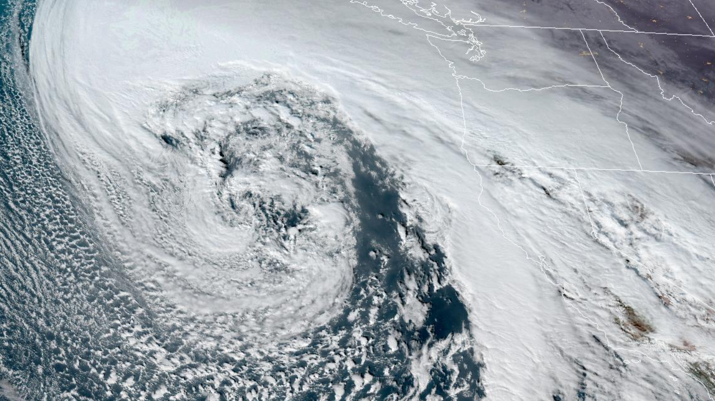
Meanwhile, in California, an atmospheric river is heading inbound towards the northern and central portions, including the San Francisco Bay Area. A High Wind Warning is in effect around the central coast and some parts of the Bay Area, as southerly winds with 20 to 35 mph with gusts up to 65 mph in valley locations will lash down trees, powerlines, and other insecure objects around that area. In addition, significant rainfall and snowfall is possible, which could result in flooded roads and streets, and mudslides. Near the Bay Area, a flood warning in effect. Satelite presentation of the system was rather remarkable, noted by this image from GOES-16.

Article written by Dino Wun, Edited and formatted by Preston S

