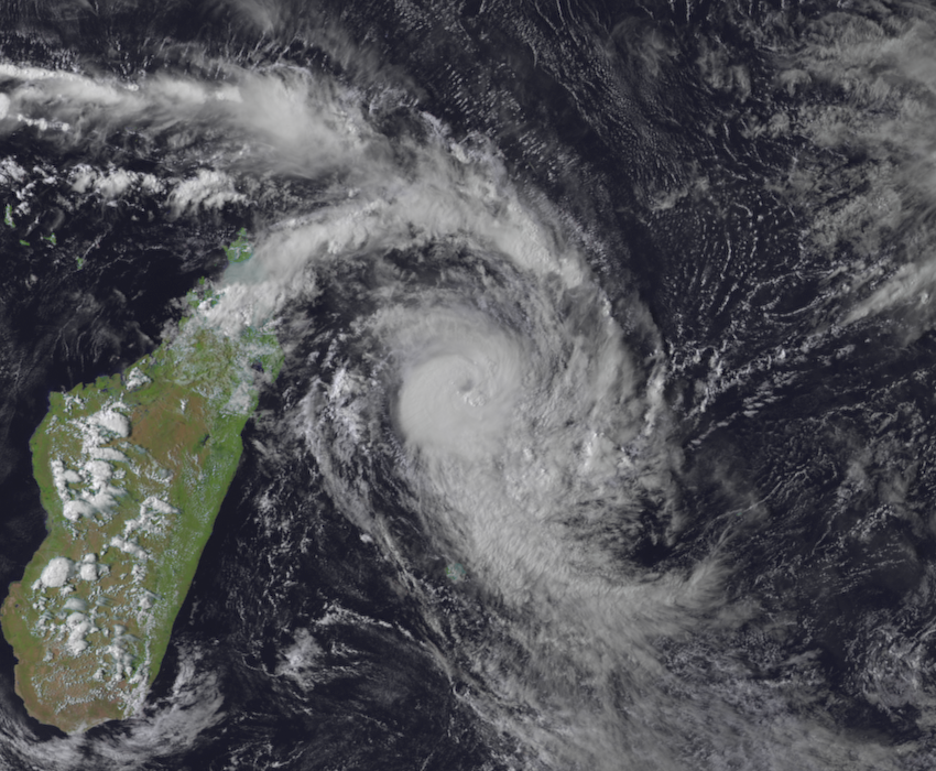
Tropical Cyclone Herold Strengthening on Approach to Mauritius

After a tumultuous period of stalling and structural changes, Tropical Cyclone Herold is on the move and strengthening this evening as it approaches the Mascarene Islands in the southern Indian Ocean. Herold is currently a Category 2 cyclone on the Saffir-Simpson Scale and could strengthen further through Tuesday morning as it makes a close pass to the Mascarene Islands.
Current Storm Information
As of 18:00 UTC (22:00 MUT), Tropical Cyclone Herold is located near 16.7°S, 56.7°E, about 350 km north of Mauritius in the Mascarene Islands. Herold is moving east-southeast at about 30 km/h (19 mph), and this general motion is expected to continue through Wednesday. Maximum 1-minute sustained winds are near 160 km/h (100 mph), and maximum 10-min sustained winds are near 140 km/h (85 mph). The minimum central pressure is 971 mb (28.67 inches). Some additional intensification is possible through Tuesday morning before Herold reaches cooler waters and a less favorable atmospheric environment by Tuesday afternoon. By Wednesday morning, Herold is forecast to weaken below hurricane-equivalent strength, and by Thursday should become extratropical over the cold waters of the southern Indian Ocean. Winds of 65 km/h (40 mph) extend outward up to 170 km (105 mi), and winds of 120 km/h (75 mph) extend outward up to 70 miles from the center of Herold, with the greatest wind extent being located to the north of the center.
