Tropical Storm Warnings in Texas and the Caribbean – August 22, 2023, TWB Update

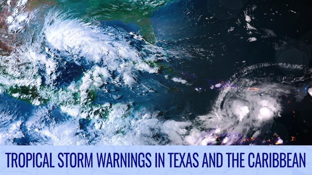
Tropical Storm Franklin is starting to line up for its landfall in the Dominican Republic, which is expected to happen in a few days. Further west, Tropical Depression Nine is expected to become a brief tropical storm as it makes landfall in southern Texas later today and tonight. Both storms could deliver high rain rates and flash flooding is possible, particularly in the southern Dominican Republic where 20 inches (500mm) of rain could fall.
Franklin is expected to intensify after it leaves the Dominican Republic and passes the Turks and Caicos islands, where sea surface temperatures will improve. The storm may stall for a while and then move northwards and is expected to peak as a moderate hurricane.
Emily turned post-tropical earlier today, but there are signs that it could regenerate as it recurves northwards later this week.
Tropical Storm Gert was named yesterday and only lasted for a short time before weakening, and is not expected to linger for much longer. Another area of interest is located near Cape Verde and has a moderate chance of development as it moves westwards.
Hilary’s remnants persist over the western United States in the Eastern Pacific. Three areas of interest have low opportunities for development in the deep tropics, with the eastern system likely to cause large rainfall amounts over Costa Rica and Nicaragua regardless of development.
In the Western Pacific, an area of interest has a low chance of development and is expected to remain broad. The system will eventually head toward eastern Japan next week.
Watch the full video here: https://youtu.be/h7aTPdGRXmU
