
Cyclone Tracking Homepage
Viewing the latest information and products on
As of 09:30 UTC on May 7th, Invest 90W was located near 3.5°N, 140.6°E, or approximately 451 miles (726 km) south-southeast of Yap, Micronesia. 90W has maximum sustained winds of 15 knots and a minimum central pressure of 1008 millibars.
90W currently lies over sea surface temperatures of around 30°C (86°F).ATCF®
 View more imageryAnimated GIF
 View more TPW productsAnimated GIF
 View more radar productsAnimated GIF
 View more SST products
 View more surface plot products
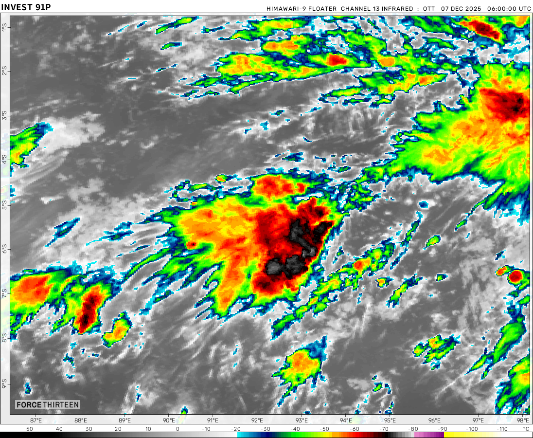
As of 09:30 UTC on May 7th, Invest 91P was located near 5.5°S, 137.3°E, or approximately 469 miles (755 km) north of Gove Airport, Northern Territory. 91P has maximum sustained winds of 28 knots and a minimum central pressure of 1008 millibars.
91P currently lies over sea surface temperatures of around 29°C (84.2°F).ATCF®
 View more imageryAnimated GIF
 View more TPW productsAnimated GIF
 View more radar productsAnimated GIF
 View more SST products
 View more surface plot products
As of 09:30 UTC on May 7th, Invest 91W was located near 4.2°N, 137.9°E, or approximately 323 miles (520 km) southeast of Palau, Micronesia. 91W has maximum sustained winds of 15 knots and a minimum central pressure of 1008 millibars.
91W currently lies over sea surface temperatures of around 30°C (86°F).ATCF®
 View more imageryAnimated GIF
 View more TPW productsAnimated GIF
 View more radar productsAnimated GIF
 View more SST products
 View more surface plot products
can tropical storms form inland and move out to the sea
Yes.
This tornado touched down near my house yesterday.
It’s false, I know this photo. It is in a 2019 book.
I meant a tornado similar to this one did
Hidaya is looking like its rain might be a threat to the southern coast of tanzania the icon model shows very little if any rain from Hidaya while the gfs predicts a landfall and the emcwf looks like it predicts a wind gusts on the coast are gonna be 40 mph to 50mph without a land fall and heavy rain very interesting…