Tropical Storm Lala was located near 37.0°N, 178.5°W, or about 611 miles (983 km) north of Midway Atoll. Lala has maximum sustained winds of 40 knots and a minimum central pressure of 999 millibars.
Typhoon Saudel was located near 28.1°N, 123.4°E, or about 240 miles (387 km) north-northeast of Taipei City, Taiwan. Saudel has maximum sustained winds of 75 knots and a minimum central pressure of 966 millibars.
Tropical Storm 20W was located near 17.1°N, 163.3°E, or about 266 miles (429 km) southwest of Wake Island. 20W has maximum sustained winds of 40 knots and a minimum central pressure of 998 millibars.
Tropical Storm 21W was located near 22.0°N, 168.0°E, or about 207 miles (334 km) north-northeast of Wake Island. 21W has maximum sustained winds of 40 knots and a minimum central pressure of 998 millibars.
ATCF®
- Latest Information -
As of August 27th 2026 at 12:46 UTC
Invest 93E was located near 9.5°N, 110.7°W, or about 643 miles (1034 km) south of Socorro Island, Mexico. 93E has maximum sustained winds of 30 knots and a minimum central pressure of 1006 millibars.
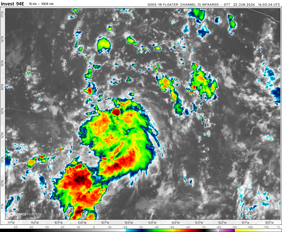
Invest 94E was located near 10.8°N, 134.8°W, or about 1439 miles (2315 km) west-southwest of Clarion Island, Mexico. 94E has maximum sustained winds of 25 knots and a minimum central pressure of 1008 millibars.
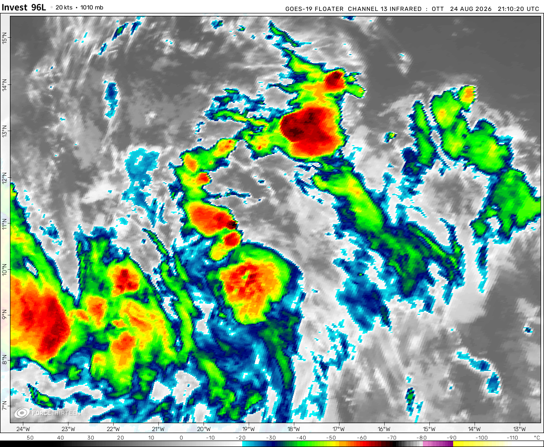
Invest 96L was located near 13.5°N, 37.6°W, or about 873 miles (1405 km) west-southwest of Mindelo, Cabo Verde. 96L has maximum sustained winds of 35 knots and a minimum central pressure of 1007 millibars.
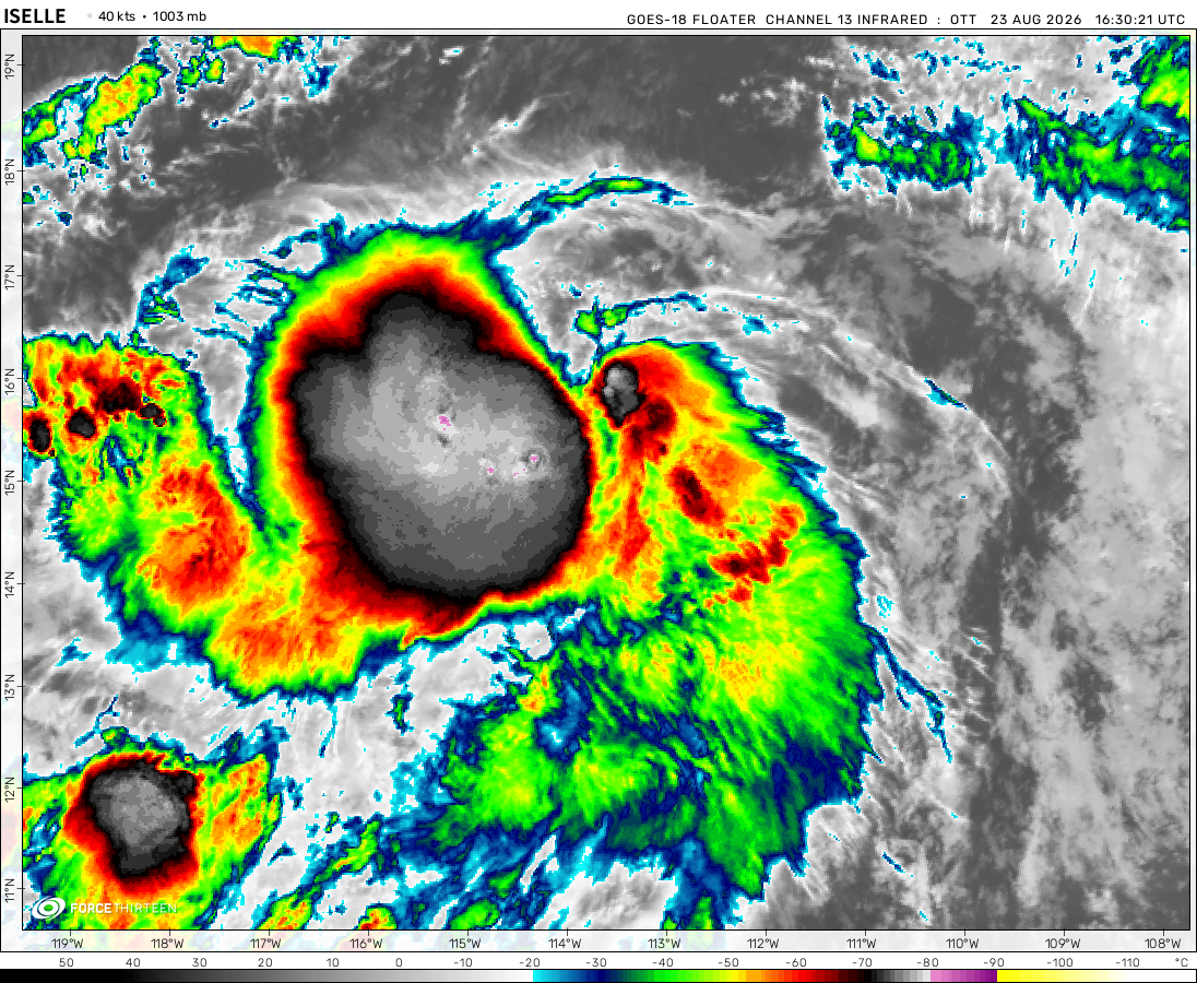
Tropical Depression Iselle was located near 22.8°N, 125.5°W, or about 761 miles (1225 km) west-northwest of Clarion Island, Mexico. Iselle has maximum sustained winds of 30 knots and a minimum central pressure of 1002 millibars.
The remnants of Narra was located near 22.7°N, 113.7°E, or about 40 miles (64 km) northwest of Hong Kong. Narra has maximum sustained winds of 15 knots and a minimum central pressure of 1003 millibars.
Where is Cyclone Gombe? I saw that Gombe has formed on zoom.earth, but it seems like this hurricane tracker is down.
Mr Leslie Jarrett
4 years ago
I am watching the weather carefully over the next few days, predictions are that there is a potential of a very intense cyclone Gombe to come very close to or actually pass over Mauritius. Already the wind is blowing a bit stronger than normal and most of the island has rainfall today. We are well prepared having seen two cyclones this year very close by already . Of course a direct hit is a very much more severe event than something passing 100km away , so we just hope it fizzles out in the next few days and all we have are light winds and some moderate rain.
February 17, 2022
I checked Cyclocane, and it shows that Emnati has formed, even though the F13 tracking center is down.
On 2022-02-17 at 12z, Emnati had sustained winds of 52 mph according to Cyclocane. Cyclocane also says Emnati will become a Category 1 on the Saffir-Simpson scale as its winds will likely increase to 75 mph thru another possible eye-wall replacement cycle (ERC). Chances are it could make landfall in Madagascar as a Category 3 according to some models with winds between 111-129 mph. Mauritius, Reunion and Rodrigues are also going to see rain and wind from this storm.
Cookies help us ensure our site works securely, continually make improvements, and personalize your browsing experience.
Click 'Accept All Cookies' to get the best browsing experience. You can change these settings at any time by clicking 'Manage My Cookies' below.
Functional
Always active
The technical storage or access is strictly necessary for the legitimate purpose of enabling the use of a specific service explicitly requested by the subscriber or user, or for the sole purpose of carrying out the transmission of a communication over an electronic communications network.
Preferences
The technical storage or access is necessary for the legitimate purpose of storing preferences that are not requested by the subscriber or user.
Statistics
The technical storage or access that is used exclusively for statistical purposes.The technical storage or access that is used exclusively for anonymous statistical purposes. Without a subpoena, voluntary compliance on the part of your Internet Service Provider, or additional records from a third party, information stored or retrieved for this purpose alone cannot usually be used to identify you.
Marketing
The technical storage or access is required to create user profiles to send advertising, or to track the user on a website or across several websites for similar marketing purposes.

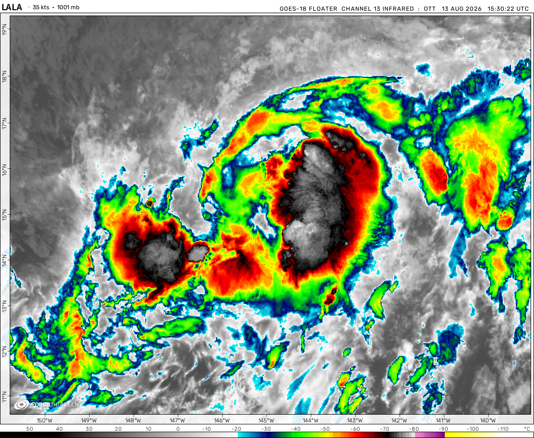 View more imageryAnimated GIF
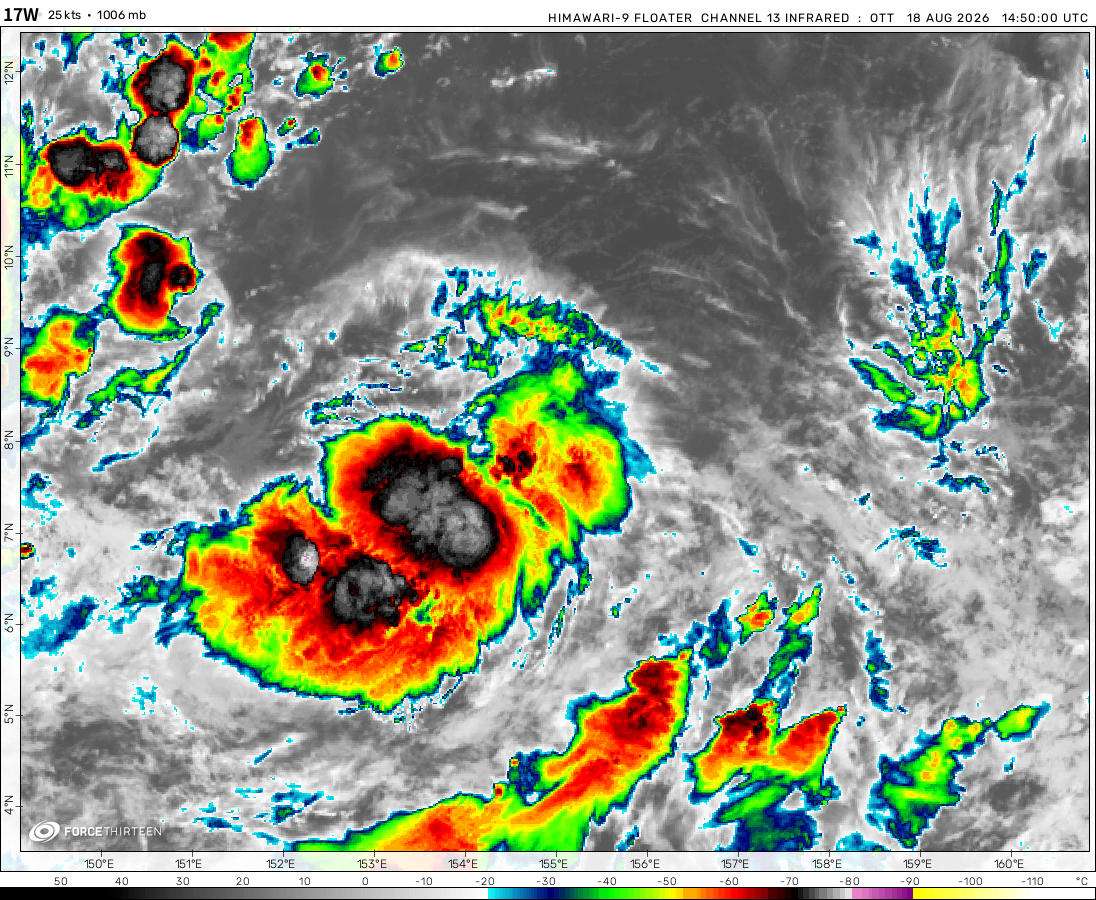 View more imageryAnimated GIF
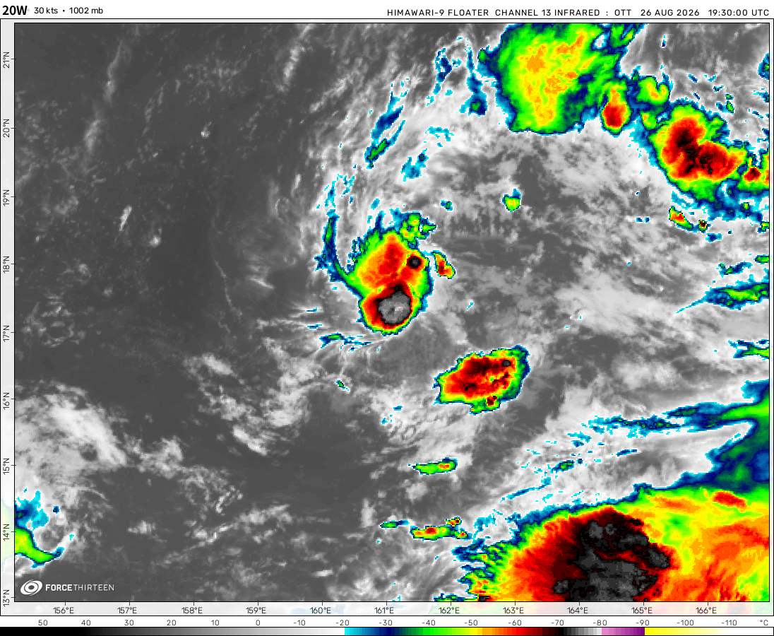 View more imageryAnimated GIF
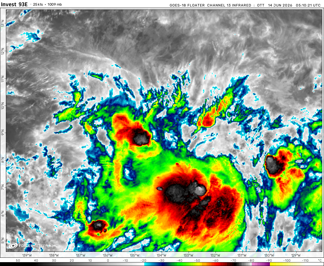 View more imageryAnimated GIF
 View more imagery
 View more imageryAnimated GIF
 View more imageryAnimated GIF
 View more imageryAnimated GIF
Are you saying this hurricane tracker is not working?
Use this link.
https://www.youtube.com/watch?v=g9dhUS6AGnc
Where is Cyclone Gombe? I saw that Gombe has formed on zoom.earth, but it seems like this hurricane tracker is down.
I am watching the weather carefully over the next few days, predictions are that there is a potential of a very intense cyclone Gombe to come very close to or actually pass over Mauritius. Already the wind is blowing a bit stronger than normal and most of the island has rainfall today. We are well prepared having seen two cyclones this year very close by already . Of course a direct hit is a very much more severe event than something passing 100km away , so we just hope it fizzles out in the next few days and all we have are light winds and some moderate rain.
Sounds like the cyclone tracker is down…
RIP Madagascar after Batsirai and Emnati…
Result of Marine Heatwaves:(
Yeah R.I.P
cyclone emnati is headed to south madagascar as category 4 ic
There is a storm in the indian ocean currently Emnati-22.
WHERES CYCLONE EMINATI??:?????????????????!!!!!
wheres tropical cyclone Emnati?
February 17, 2022
I checked Cyclocane, and it shows that Emnati has formed, even though the F13 tracking center is down.
On 2022-02-17 at 12z, Emnati had sustained winds of 52 mph according to Cyclocane. Cyclocane also says Emnati will become a Category 1 on the Saffir-Simpson scale as its winds will likely increase to 75 mph thru another possible eye-wall replacement cycle (ERC). Chances are it could make landfall in Madagascar as a Category 3 according to some models with winds between 111-129 mph. Mauritius, Reunion and Rodrigues are also going to see rain and wind from this storm.
isnt “90S’ cyclone cody
Demonia 1984 ,could it be the same track as current siclone
tropical storm 90-E and subtropical depresion 95-P ?
cody has a eye (4:38 EST)
how does 6 p (tricia) not have a cdps stage
i meant tiffany
TS 6P to make landfall in Austrialia
Cyclone 06P (tropical storm) tropical depresion 05P (td)
How are the 2 invest still 17 mph 1007 and 23 mph 1007 (1007 mbar 17 and 23 mph)
forget i put that (yes i have 2 usernames for this)
back then it might have not been going by 5s and going by 1s
forget i said this
what i think invest 90P 70-80 % chance of cyclone genisis and 99P 90% chance of cyclone genisis