Subtropical Depression Lala was located near 41.6°N, 174.0°E, or about 1045 miles (1682 km) north-northwest of Midway Atoll. Lala has maximum sustained winds of 25 knots and a minimum central pressure of 1011 millibars.
The remnants of Dolly was located near 17.2°N, 59.2°W, or about 168 miles (271 km) east-northeast of Pointe-à-Pitre, Guadeloupe. Dolly has maximum sustained winds of 30 knots and a minimum central pressure of 1009 millibars.
Tropical Storm Karina was located near 16.7°N, 119.6°W, or about 341 miles (549 km) west-southwest of Clarion Island, Mexico. Karina has maximum sustained winds of 60 knots and a minimum central pressure of 987 millibars.
Tropical Storm Lowell was located near 13.2°N, 137.6°W, or about 1242 miles (1999 km) east-southeast of Hilo, Hawaii. Lowell has maximum sustained winds of 40 knots and a minimum central pressure of 1003 millibars.
The remnants of Saudel was located near 24.1°N, 111.9°E, or about 189 miles (305 km) northwest of Hong Kong. Saudel has maximum sustained winds of 15 knots and a minimum central pressure of 999 millibars.
Tropical Storm Bang-lang was located near 31.3°N, 167.9°E, or about 834 miles (1342 km) north of Wake Island. Bang-lang has maximum sustained winds of 60 knots and a minimum central pressure of 979 millibars.
Tropical Depression Etau was located near 30.9°N, 164.7°E, or about 812 miles (1307 km) north of Wake Island. Etau has maximum sustained winds of 25 knots and a minimum central pressure of 994 millibars.
Invest 94W was located near 20.3°N, 134.0°E, or about 421 miles (678 km) south-southeast of Minami-Daitō Island, Japan. 94W has maximum sustained winds of 15 knots and a minimum central pressure of 1004 millibars.
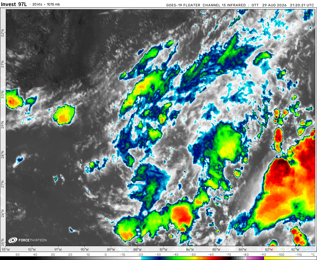
Invest 97L was located near 28.3°N, 87.9°W, or about 174 miles (280 km) southeast of New Orleans, Louisiana. 97L has maximum sustained winds of 20 knots and a minimum central pressure of 1015 millibars.
my (very rough) estimates for the chances of retirement for each storm name in ATLC 2022:
Alex:1%
Bonnie:3%
Colin:5%
Danielle:uh
Earl:1%
Fiona:75%
Gaston:uh
Hermine:uh
Ian:101%
Julia:25%
Karl:15%
Lisa:25%
Martin:uh
Nicole:50%
Cousin,
I appreciate your hardcore work efforts to the core.
-dillon
Polar Storms
3 years ago
I’m saying the Eastern Pacific has shut down for the year. The GFS wants potentially 2 systems to form in the Atlantic, one of which almost being a Cat 5.
Cookies help us ensure our site works securely, continually make improvements, and personalize your browsing experience.
Click 'Accept All Cookies' to get the best browsing experience. You can change these settings at any time by clicking 'Manage My Cookies' below.
Functional
Always active
The technical storage or access is strictly necessary for the legitimate purpose of enabling the use of a specific service explicitly requested by the subscriber or user, or for the sole purpose of carrying out the transmission of a communication over an electronic communications network.
Preferences
The technical storage or access is necessary for the legitimate purpose of storing preferences that are not requested by the subscriber or user.
Statistics
The technical storage or access that is used exclusively for statistical purposes.The technical storage or access that is used exclusively for anonymous statistical purposes. Without a subpoena, voluntary compliance on the part of your Internet Service Provider, or additional records from a third party, information stored or retrieved for this purpose alone cannot usually be used to identify you.
Marketing
The technical storage or access is required to create user profiles to send advertising, or to track the user on a website or across several websites for similar marketing purposes.

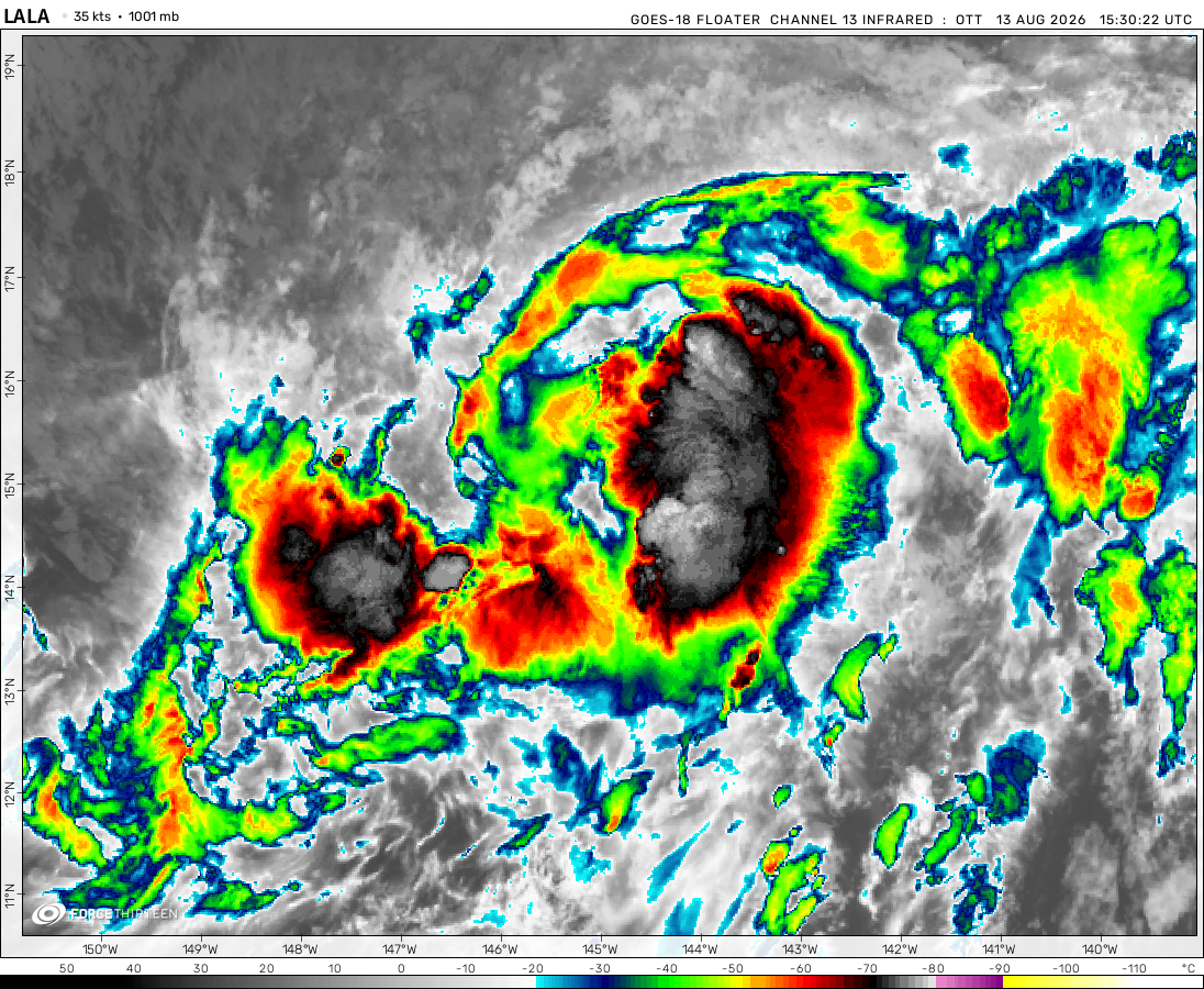 View more imageryAnimated GIF
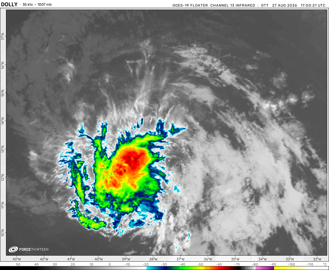 View more imageryAnimated GIF
 View more imageryAnimated GIF
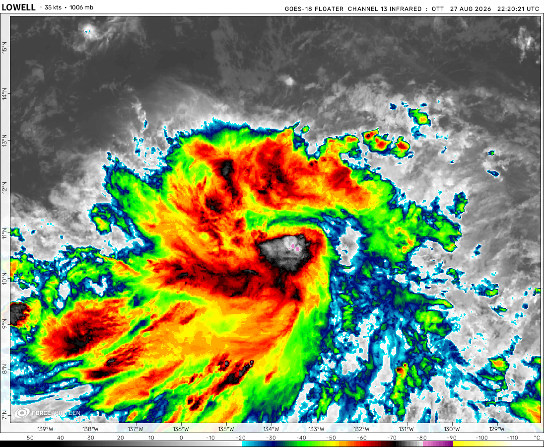 View more imageryAnimated GIF
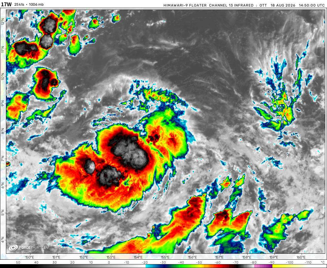 View more imageryAnimated GIF
 View more imageryAnimated GIF
 View more imageryAnimated GIF
 View more imageryAnimated GIF
 View more imageryAnimated GIF
Cyclone Darian
Hurricane Dorian
Typhoon Durian
lol
Here., Cyclone Darian.
For those wondering why website is broken, RyanKnack’s ATCF runs on Heroku, which ended support on November 30.
Big system in the Indian Ocean!
my (very rough) estimates for the chances of retirement for each storm name in ATLC 2022:
Alex:1%
Bonnie:3%
Colin:5%
Danielle:uh
Earl:1%
Fiona:75%
Gaston:uh
Hermine:uh
Ian:101%
Julia:25%
Karl:15%
Lisa:25%
Martin:uh
Nicole:50%
wpac this year isnt quite active; i hope La Nina would go away soon…
all i can see is a big convective blob going towards srilanka
99L will be Owen by the 8-9
There’s still nothing going on.
Why is there no storms and the satellite imagery isn’t working. Just a bug?
Bro there’s no storms. It’s this transition time between northern hemisphere’s seasons ending and the southern’s hemispheres beginning seasons
3 invests in the western pacific!?!
Why is 94S still an invest?
BOB 10 has formed already
Cousin,
I appreciate your hardcore work efforts to the core.
-dillon
I’m saying the Eastern Pacific has shut down for the year. The GFS wants potentially 2 systems to form in the Atlantic, one of which almost being a Cat 5.
the gfs isn’t that accurate
I don’t think 94S will form. It’s already weakening
94S in the southwest Indian!.If that developed, it would be the 5th storm in the basin
maybe 96W will become a late season super typhoon.
Twenty-eight formed in the WPAC. I say it could be a T.S or a weak typhoon most.