The remnants of Saudel was located near 27.5°N, 116.6°E, or about 352 miles (566 km) west-northwest of Taipei City, Taiwan. Saudel has maximum sustained winds of 20 knots and a minimum central pressure of 994 millibars.
Tropical Storm Dolly was located near 14.8°N, 45.8°W, or about 813 miles (1309 km) north-northeast of Cayenne, French Guiana. Dolly has maximum sustained winds of 35 knots and a minimum central pressure of 1008 millibars.
Tropical Storm Karina was located near 12.9°N, 114.7°W, or about 377 miles (607 km) south of Clarion Island, Mexico. Karina has maximum sustained winds of 45 knots and a minimum central pressure of 999 millibars.
Tropical Storm Lowell was located near 12.3°N, 132.7°W, or about 1268 miles (2040 km) west-southwest of Clarion Island, Mexico. Lowell has maximum sustained winds of 40 knots and a minimum central pressure of 1003 millibars.
Typhoon Bang-lang was located near 19.5°N, 166.5°E, or about 18 miles (29 km) north-northwest of Wake Island. Bang-lang has maximum sustained winds of 65 knots and a minimum central pressure of 984 millibars.
Tropical Storm Etau was located near 25.2°N, 166.5°E, or about 409 miles (658 km) north of Wake Island. Etau has maximum sustained winds of 45 knots and a minimum central pressure of 990 millibars.
Invest 92W was located near 24.9°N, 125.5°E, or about 14 miles (23 km) northeast of Miyako Island, Japan. 92W has maximum sustained winds of 15 knots and a minimum central pressure of 1002 millibars.
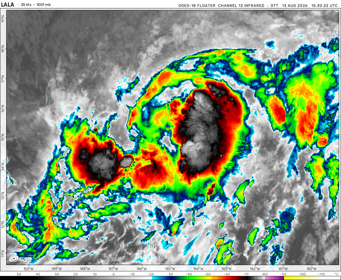
The remnants of Lala was located near 38.1°N, 179.1°W, or about 691 miles (1112 km) north of Midway Atoll. Lala has maximum sustained winds of 35 knots and a minimum central pressure of 1003 millibars.
why hasn’t the hot blob in the Atlantic basin fully dissipated yet, and also why does it seem to be quiet in the WPAC with activities other than the depressions burst?
Lee might intensify even further after reaching category five status sooner or later, but the window will be closing in very rapidly as the shear begins to build up in the coming hours.
Cookies help us ensure our site works securely, continually make improvements, and personalize your browsing experience.
Click 'Accept All Cookies' to get the best browsing experience. You can change these settings at any time by clicking 'Manage My Cookies' below.
Functional
Always active
The technical storage or access is strictly necessary for the legitimate purpose of enabling the use of a specific service explicitly requested by the subscriber or user, or for the sole purpose of carrying out the transmission of a communication over an electronic communications network.
Preferences
The technical storage or access is necessary for the legitimate purpose of storing preferences that are not requested by the subscriber or user.
Statistics
The technical storage or access that is used exclusively for statistical purposes.The technical storage or access that is used exclusively for anonymous statistical purposes. Without a subpoena, voluntary compliance on the part of your Internet Service Provider, or additional records from a third party, information stored or retrieved for this purpose alone cannot usually be used to identify you.
Marketing
The technical storage or access is required to create user profiles to send advertising, or to track the user on a website or across several websites for similar marketing purposes.

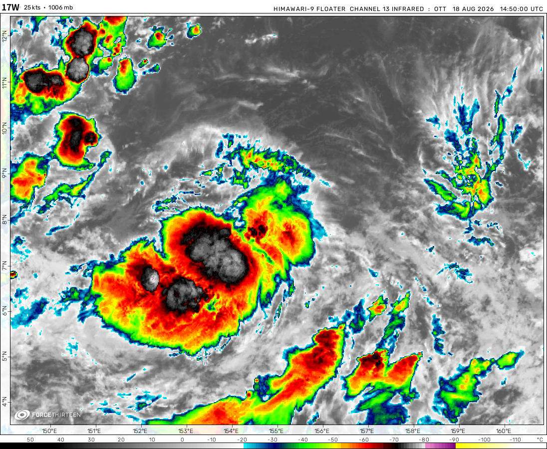 View more imagery
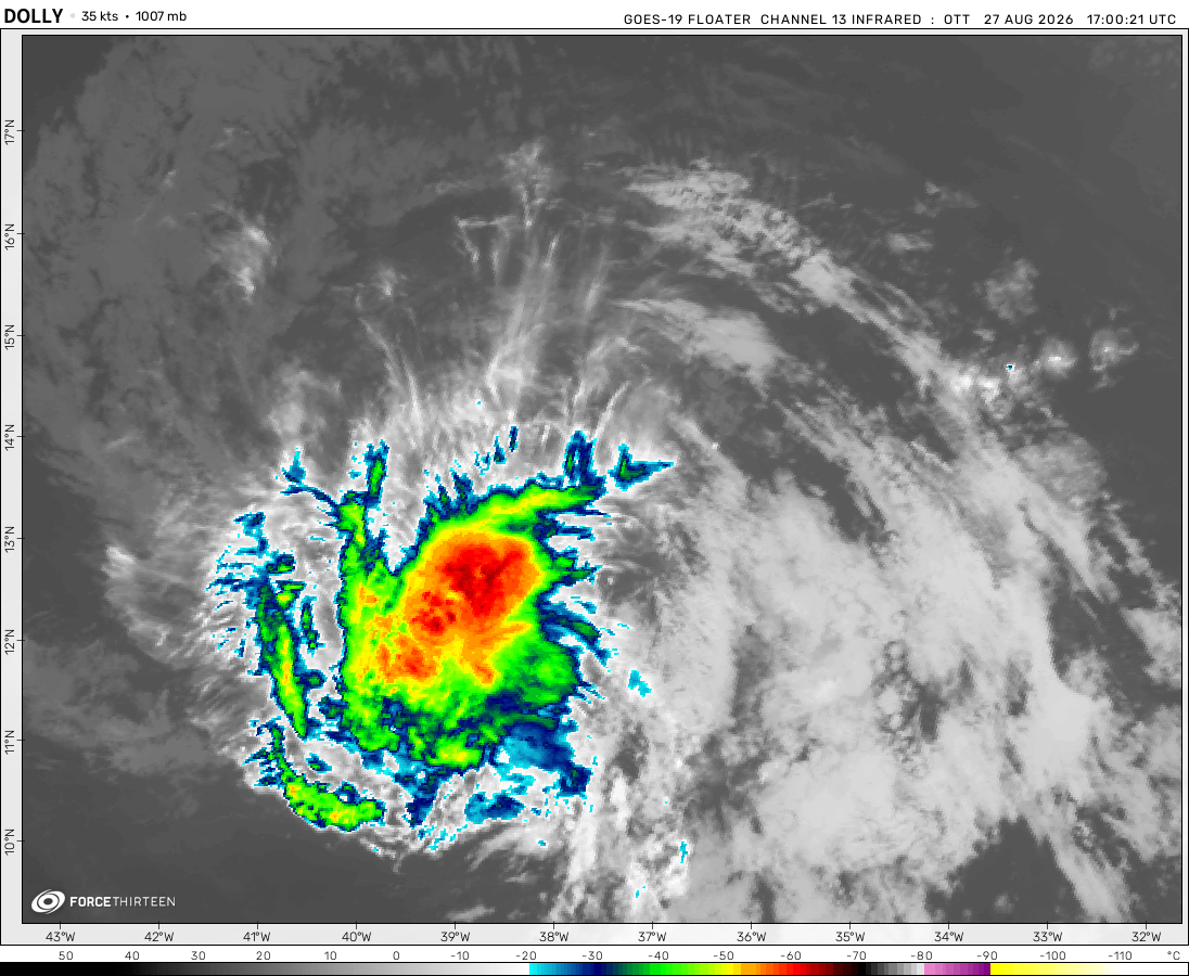 View more imageryAnimated GIF
 View more imageryAnimated GIF
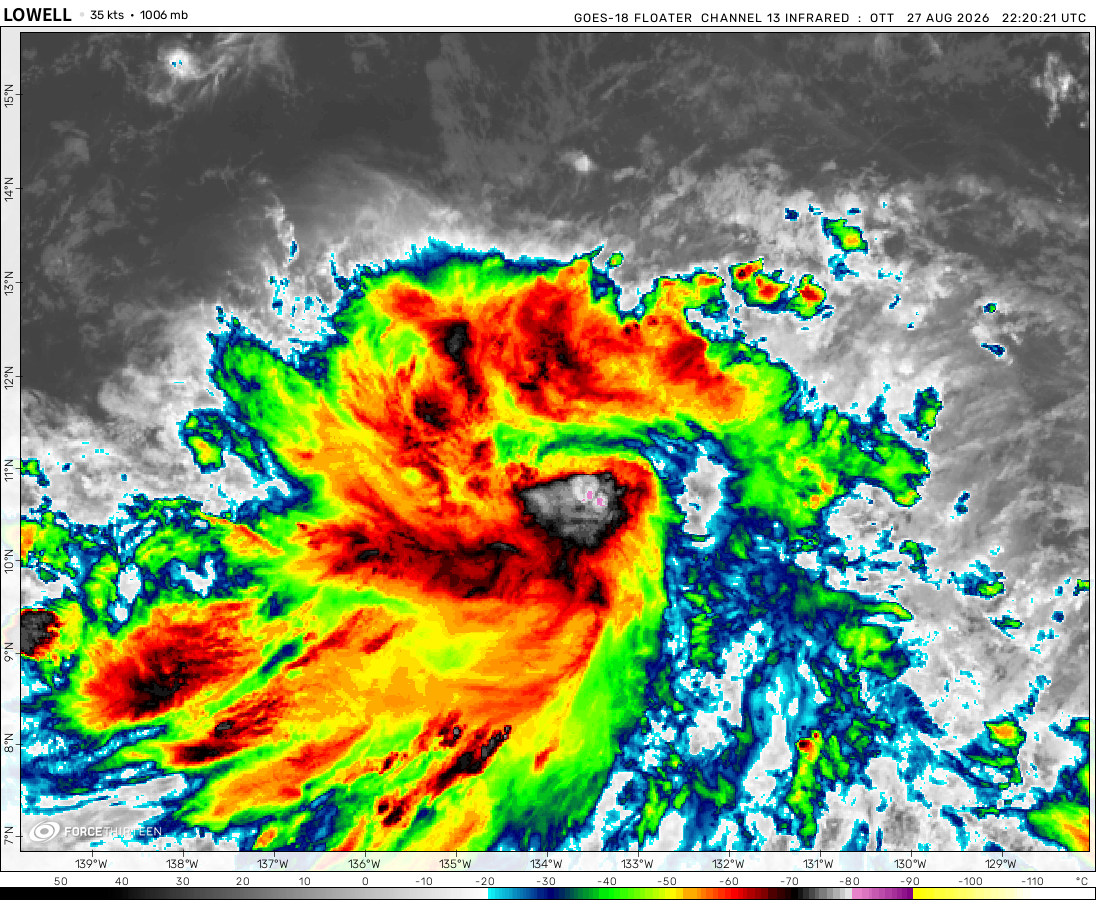 View more imageryAnimated GIF
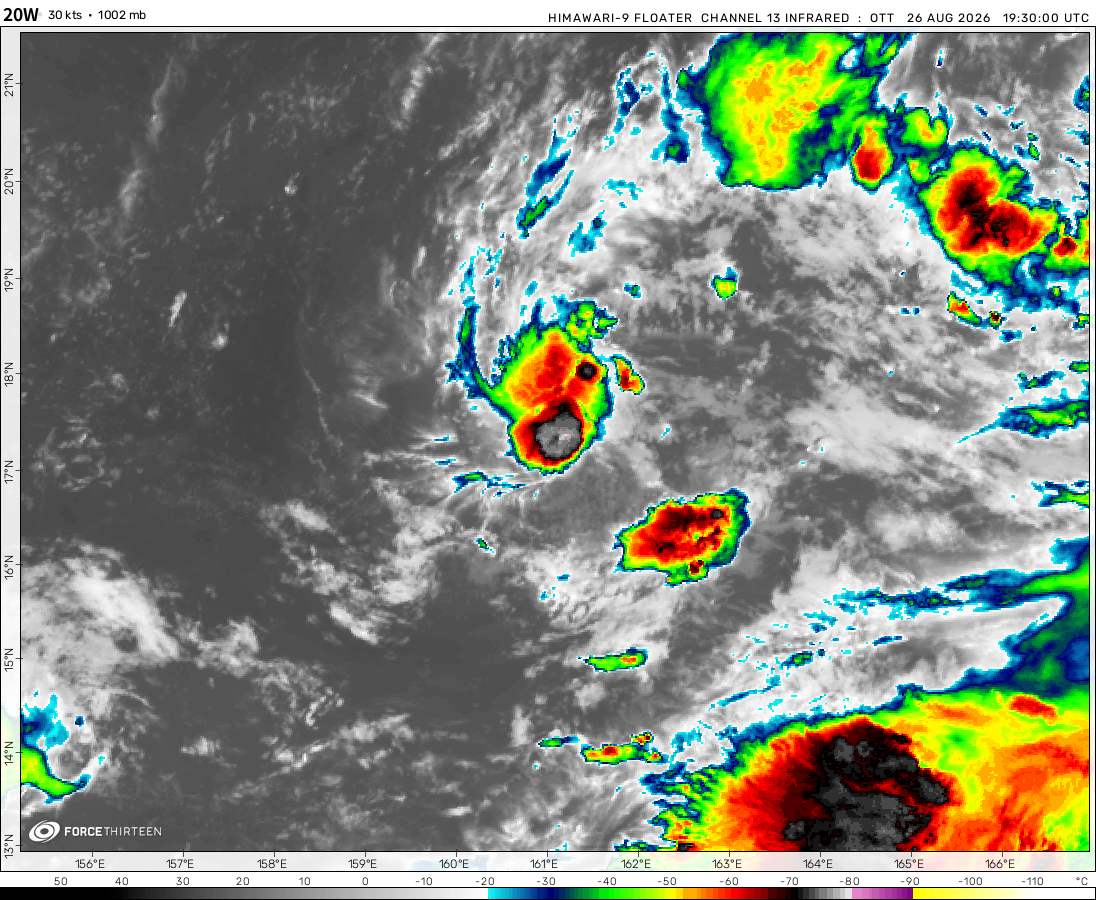 View more imageryAnimated GIF
 View more imageryAnimated GIF
 View more imagery
 View more imageryAnimated GIF
why hasn’t the hot blob in the Atlantic basin fully dissipated yet, and also why does it seem to be quiet in the WPAC with activities other than the depressions burst?
How long does the pacific hurricane season last?
I was told that the hot blob was the recording issue, but it’s long-lasting (keeps persisting)
and I have no idea why, and about the EPAC season, idk
Both hurricane seasons end on November 30.
currently 98l has weakened and has a lower chance of forming.
97l has just dissipated.
I think 98L could be worse than 97L if it continues on moving east unless it moves north too early to rapidly intensify.
Currently it is a category 3 but it will soon go back to becoming a category 4. (130 mph)
Hurricane Lee is now a Major Hurricane
And Tropical Storm Margot. Like a Hurricane.
This storm is all over the place when ít comes to categories!
Like Major Hurricane Category 5 Lee?
I’ve also noticed that their really isn’t an eye in this storm even though it’s a category 4-5.
Wouldn’t it stick if it hit Florida right after Idelia. This is going to be interesting.
It just got updated to become a category 4 soon.
And now it is expected to move north as a category 1-2 hurricane.
Lee went under category 5 intensity due to shear… May start to intensify again over the weekend.
quite thestork
Lee now 165 mph, further intensification expected
Lee might intensify even further after reaching category five status sooner or later, but the window will be closing in very rapidly as the shear begins to build up in the coming hours.
Lee be like: I HAVE THE BLOOD OF IRMA I HAVE THE DNA OF IRMA but i dont got the track of irma
Irma was a fun storm to be in…
Will Invest 95L becomes a powerful storm just like 2017’s Jose or Maria?
Probably, as it is expected to become a cat. 5
Just got my “Still Waiting For Hone” shirt today. Worth it. Also could Franklin return near Iberia?
I Hope People Evacuate From This Hurricane!
I Think It May Become A Hurricane!
why is there a hot blob out of nowhere?
A ship may not have been calibrated correctly and ended up reported incorrect SST’s.
Its been there for a while tho
Idalia’s wrath is upon us, I just made it to my new place with the new evac orders.
I’m glad you are okay.