Tropical Storm Elida was located near 15.7°N, 117.9°W, or about 279 miles (448 km) southwest of Clarion Island, Mexico. Elida has maximum sustained winds of 50 knots and a minimum central pressure of 997 millibars.
Invest 90C was located near 13.8°N, 165.0°W, or about 700 miles (1127 km) southwest of Honolulu, Hawaii. 90C has maximum sustained winds of 25 knots and a minimum central pressure of 1008 millibars.
Invest 90W was located near 6.5°N, 152.9°E, or about 84 miles (134 km) north-northwest of Chuuk, Micronesia. 90W has maximum sustained winds of 25 knots and a minimum central pressure of 1007 millibars.
Invest 91W was located near 32.6°N, 156.4°E, or about 884 miles (1423 km) east of Tokyo, Japan. 91W has maximum sustained winds of 30 knots and a minimum central pressure of 999 millibars.
Cookies help us ensure our site works securely, continually make improvements, and personalize your browsing experience.
Click 'Accept All Cookies' to get the best browsing experience. You can change these settings at any time by clicking 'Manage My Cookies' below.
Functional
Always active
The technical storage or access is strictly necessary for the legitimate purpose of enabling the use of a specific service explicitly requested by the subscriber or user, or for the sole purpose of carrying out the transmission of a communication over an electronic communications network.
Preferences
The technical storage or access is necessary for the legitimate purpose of storing preferences that are not requested by the subscriber or user.
Statistics
The technical storage or access that is used exclusively for statistical purposes.The technical storage or access that is used exclusively for anonymous statistical purposes. Without a subpoena, voluntary compliance on the part of your Internet Service Provider, or additional records from a third party, information stored or retrieved for this purpose alone cannot usually be used to identify you.
Marketing
The technical storage or access is required to create user profiles to send advertising, or to track the user on a website or across several websites for similar marketing purposes.

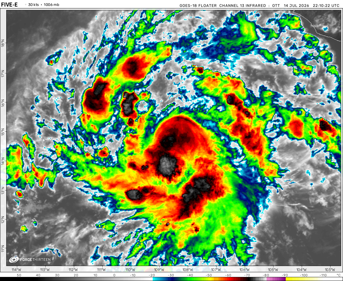 View more imageryAnimated GIF
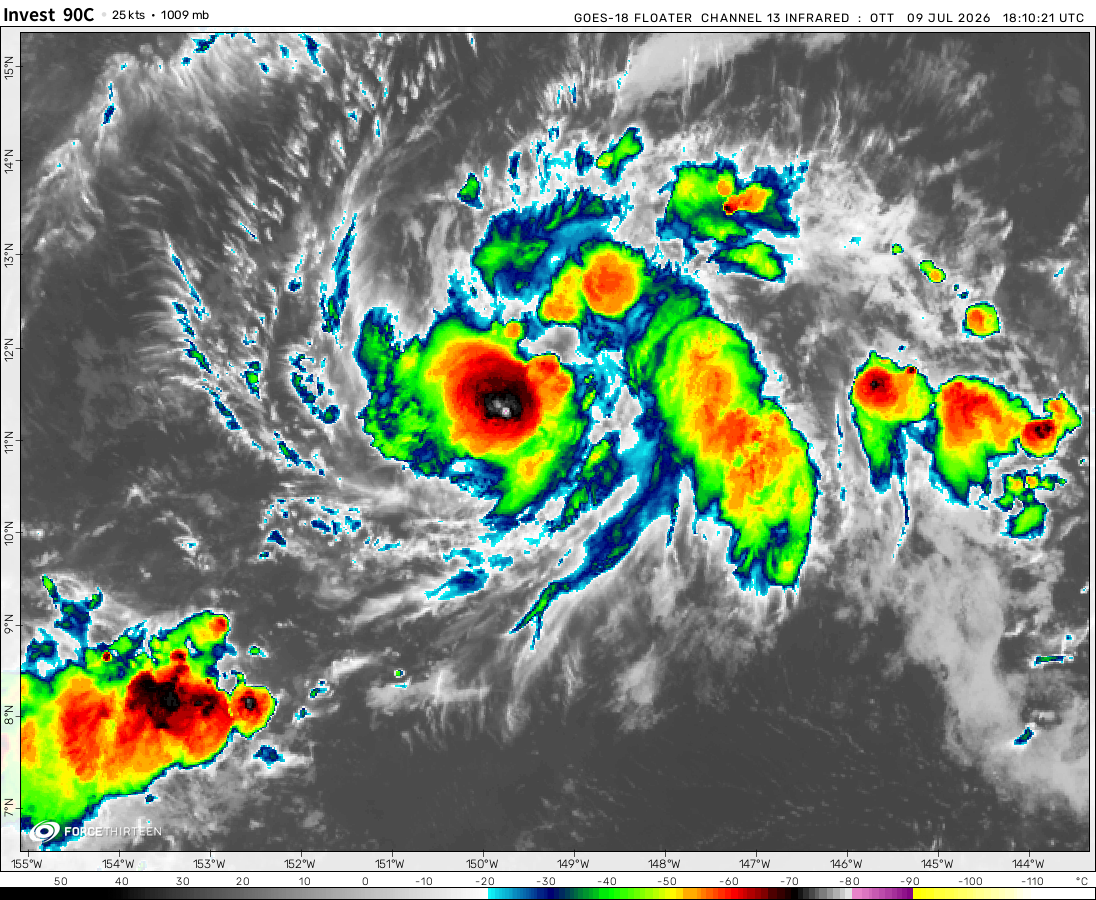 View more imageryAnimated GIF
 View more imageryAnimated GIF
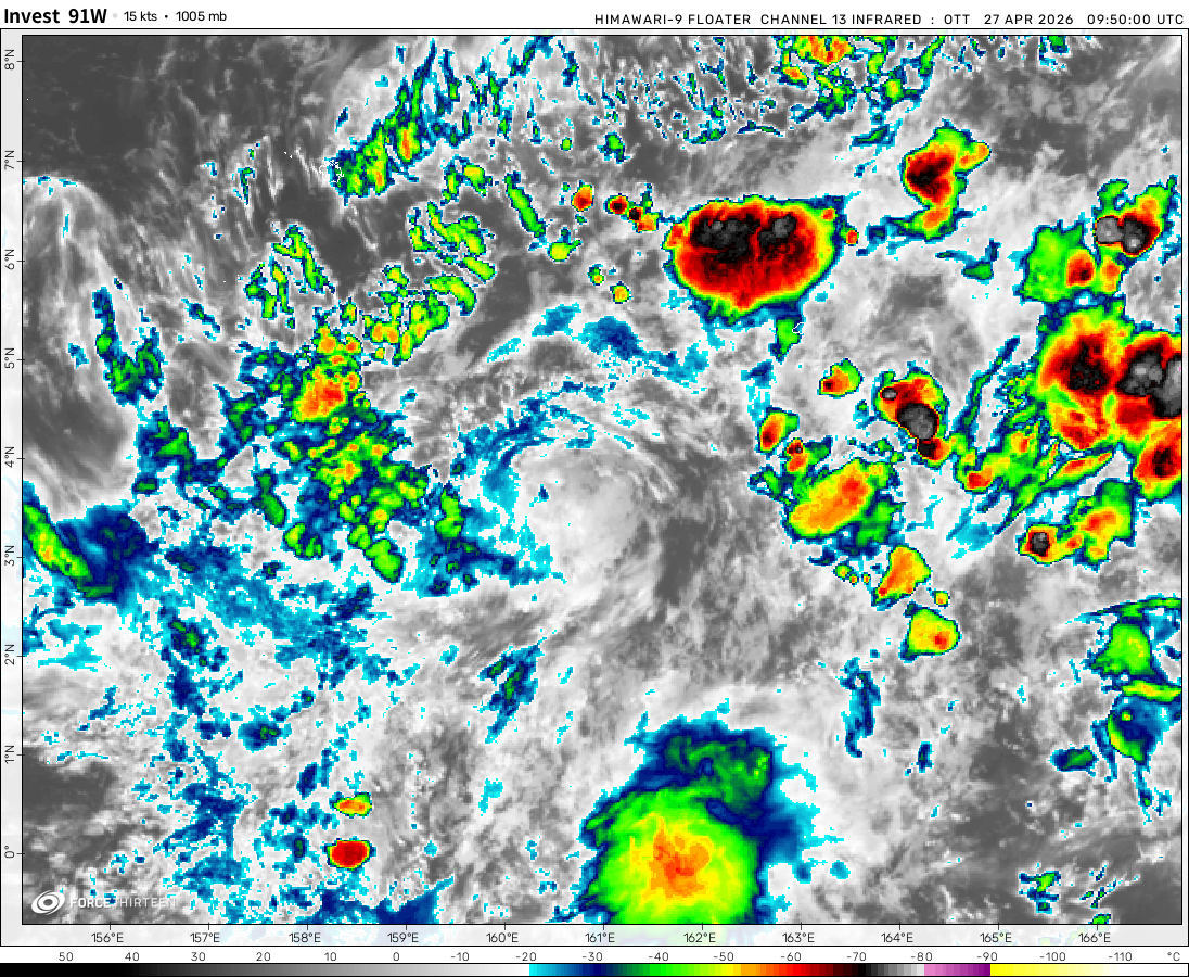 View more imageryAnimated GIF
Image of Cyclone Ilsa about to make landfall
2006 Central pacific Cyclone.
Im Back!
According to my calculations, Invest 99S is expected to be a weak tropical storm and barely affect anybody.
I mean like a storm picture=vote
Pick a storm and comment to see wich Storm will win the storm battle!
Collin
Zayin
Skye
Medianegg
Nathan
Cyanice
Jordan
Mitchell
Sdslayer
Nick
Preston
Luis
Daniel Nearing landfall.
Image of 98P trying to form
Since 98P is on warm moderate waters, it could intensify a little bit
Anggrek looked cool I guess
Remnents of Patricia over the Gulf in Late October 2015.
It even shows an eye feature.
That actually looks really cool
That kind of looks like Eleanor right now
Major hurricanes Olaf and Patricia.
Major hurricanes Kilo, Ignacio, and Jimena.
That is the first tornado I heve ever saw.
Im going to be a storm chaser.
I ment Typhoon Cimaron and typhoon Tip look almost identical
Typhoon Cimaronand Typhoon Tip look almost identical
Strange
I think you mean Cimmaron
Just a heads up that Invest 90L is actually Akará, and is handled directly from the ATCF file.
Well, here we are two years later from Yakecan, with a new naming list starting with Akara.
Can anyone guess my second favorite storm?
Freddy ?