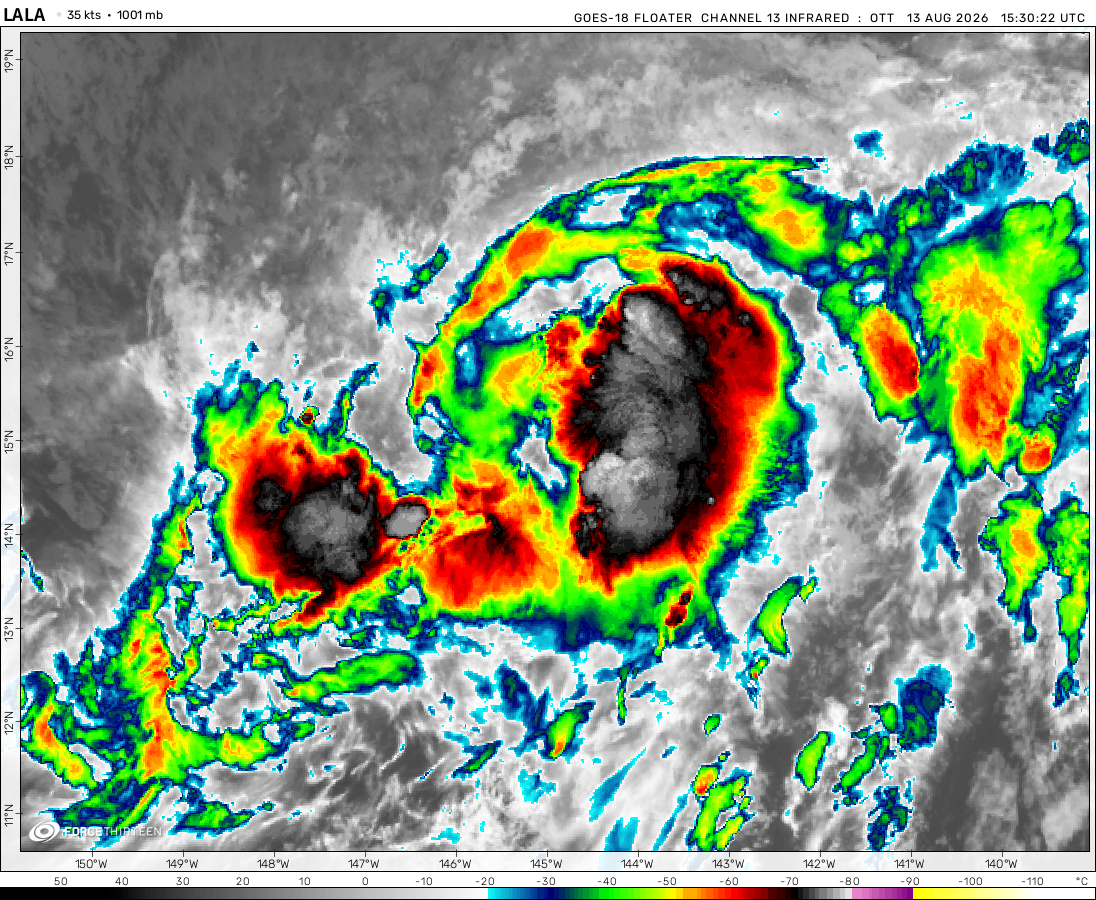
Tropical Storm Lala was located near 34.9°N, 177.0°W, or about 463 miles (745 km) north of Midway Atoll. Lala has maximum sustained winds of 45 knots and a minimum central pressure of 994 millibars.
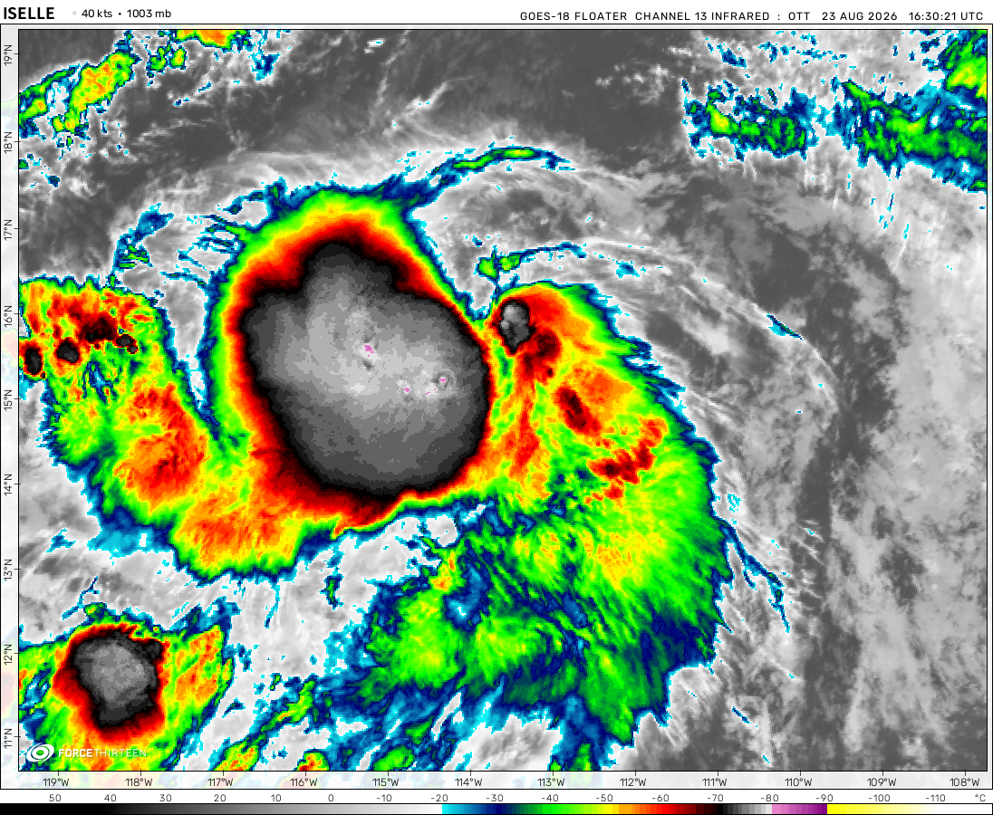
Tropical Storm Iselle was located near 20.9°N, 121.4°W, or about 468 miles (754 km) west-northwest of Clarion Island, Mexico. Iselle has maximum sustained winds of 50 knots and a minimum central pressure of 994 millibars.
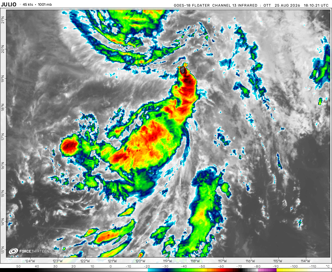
The remnants of Julio was located near 19.5°N, 118.8°W, or about 278 miles (447 km) west-northwest of Clarion Island, Mexico. Julio has maximum sustained winds of 40 knots and a minimum central pressure of 1003 millibars.
Typhoon Saudel was located near 27.5°N, 128.1°E, or about 81 miles (131 km) north-northeast of Kadena, Okinawa. Saudel has maximum sustained winds of 80 knots and a minimum central pressure of 966 millibars.
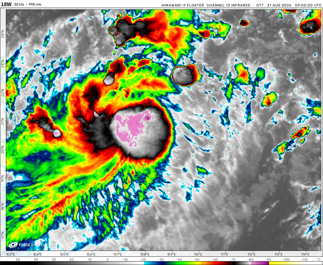
Tropical Depression Narra was located near 20.0°N, 109.6°E, or about 39 miles (63 km) west of Haikou, Hainan Island. Narra has maximum sustained winds of 25 knots and a minimum central pressure of 999 millibars.
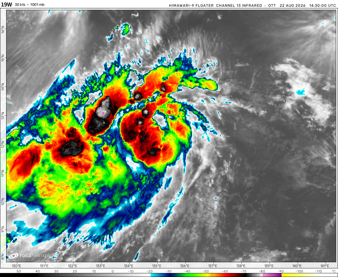
The remnants of Atsani was located near 22.8°N, 135.5°E, or about 340 miles (548 km) southeast of Minami-Daitō Island, Japan. Atsani has maximum sustained winds of 20 knots and a minimum central pressure of 1007 millibars.
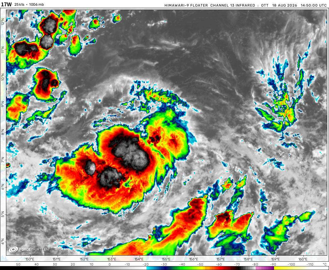
Invest 90W was located near 13.8°N, 151.7°E, or about 467 miles (752 km) east of Hagåtña, Guam. 90W has maximum sustained winds of 20 knots and a minimum central pressure of 1008 millibars.
Invest 95L was located near 38.4°N, 58.2°W, or about 521 miles (838 km) southeast of Cape Sable Island, Nova Scotia. 95L has maximum sustained winds of 30 knots and a minimum central pressure of 1014 millibars.
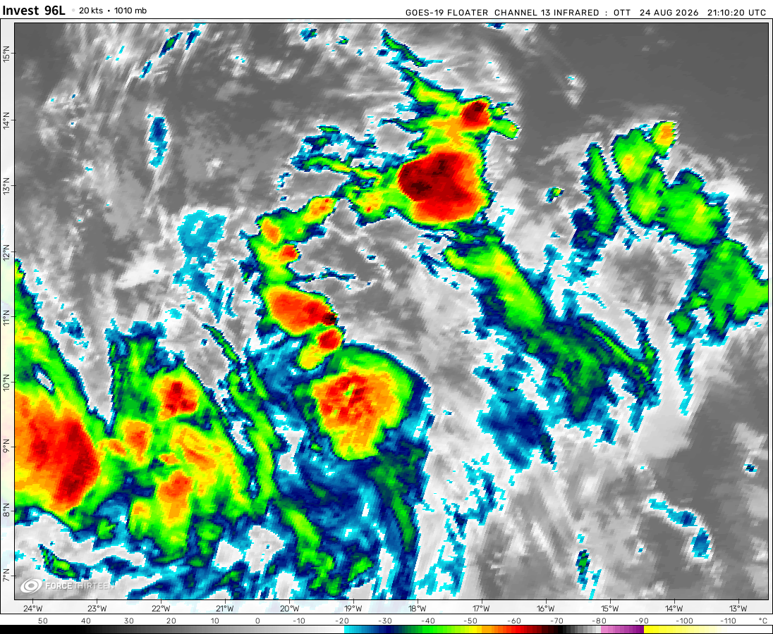
Invest 96L was located near 12.9°N, 23.6°W, or about 141 miles (226 km) south of Praia, Cabo Verde. 96L has maximum sustained winds of 25 knots and a minimum central pressure of 1009 millibars.
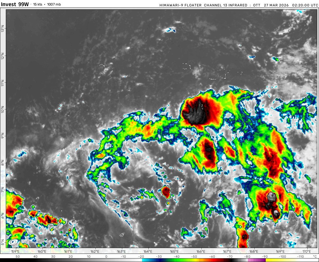
Invest 99W was located near 16.0°N, 162.0°E, or about 381 miles (613 km) southwest of Wake Island. 99W has maximum sustained winds of 20 knots and a minimum central pressure of 1007 millibars.
Hurricane Erin now a major hurricane! Currently an EF4…I mean category 4 Hurricane of wind speeds 145 miles an hour, and gusts up to 150-170. Luckily, it WILL not be making landfall but could become a category 5 hurricane.
Invest 98L is Likely to intensify!
As of now, it is currently just an invest, but it is most likely going to easily become a tropical storm, as the waters of the gulf are fueled with power, it is Likely to rapidly intensify. As well as heavy humidity, there is a great chance for either a tropical storm, or hurricane as it develops over the next few days. My school will be starting Tuesday next week, so this is going to be one of my last reports.
Cookies help us ensure our site works securely, continually make improvements, and personalize your browsing experience.
Click 'Accept All Cookies' to get the best browsing experience. You can change these settings at any time by clicking 'Manage My Cookies' below.
Functional
Always active
The technical storage or access is strictly necessary for the legitimate purpose of enabling the use of a specific service explicitly requested by the subscriber or user, or for the sole purpose of carrying out the transmission of a communication over an electronic communications network.
Preferences
The technical storage or access is necessary for the legitimate purpose of storing preferences that are not requested by the subscriber or user.
Statistics
The technical storage or access that is used exclusively for statistical purposes.The technical storage or access that is used exclusively for anonymous statistical purposes. Without a subpoena, voluntary compliance on the part of your Internet Service Provider, or additional records from a third party, information stored or retrieved for this purpose alone cannot usually be used to identify you.
Marketing
The technical storage or access is required to create user profiles to send advertising, or to track the user on a website or across several websites for similar marketing purposes.

 View more imageryAnimated GIF
 View more imageryAnimated GIF
 View more imageryAnimated GIF
 View more imageryAnimated GIF
 View more imageryAnimated GIF
 View more imageryAnimated GIF
 View more imageryAnimated GIF
 View more imageryAnimated GIF
 View more imageryAnimated GIF
 View more imageryAnimated GIF
Do you have concerns on tropical storm twentythr? WHAT THE HECK Are your he brain of yes? It’s tropical storm Twentythre
Limits must change! 250-500, no less range!!!!
THEY ADDED TEXT LIMITS BEFORE GTA6?!!! No, this is a form of inflation I’ve never seen before.
There are currently no tropical storms in the Atlantic at this point, but it is currently expected that there will be a
You can give me limits, but there is no limit to my determination to make you remove, or change the limits!!!!!!!!!!!!!!
6767676767676767676767676767676767676767676767676767676767676767676767676767676767676767676767676767remove the limits!!!
The limits wont hurt me, we can still make continuous messages! CHANGE THE LIMITS!!! OR REMOVE IT!!!!
REMOVE THE LIMITS NOW!!! I’m sorry, about the spamming, but I cant agree with 100 letters, but it should be 250-500.
protest no.2
Protest no.1
Yall, what do you all think about my grades? Wait, they added letter limits? Makes sense, but this limits information!!!
WHy was the website glitched for the past 24 hours?
A large wall of text in the comments section preventing the cyclone page from loading.
Im sorry, I did that, my bad.
sadafa
Kiko Is pulling a 2019
Ok actually stop though
Yeah nobody sees this anyway
(OK)
ok
Ok
OK
OK?!
ok
What are your thoughts on Invest 99L?
What are your thoughts on Tropical Storm JULIETTE?
ok
What are your thoughts on Invest 96B?
What are your thoughts on This Dead Chat?
What are you thoughts on Invest dead, chat?
What are your thoughts on Thoughts?
yes
yes
no
stop scrolling
no!!!!!!!!!!!!!!!!!!!!!!!!!!!!!!!!!!!!!!!!
7.5 miles wide at the beginning of its C5 peak.
I measured Erin’s eye width and during its peak it had a pinhole eye.
This is me from my computer
First NHEM category 5 this year.
Hurricane Erin now a major hurricane! Currently an EF4…I mean category 4 Hurricane of wind speeds 145 miles an hour, and gusts up to 150-170. Luckily, it WILL not be making landfall but could become a category 5 hurricane.
Hi
Invest 98L is Likely to intensify!
As of now, it is currently just an invest, but it is most likely going to easily become a tropical storm, as the waters of the gulf are fueled with power, it is Likely to rapidly intensify. As well as heavy humidity, there is a great chance for either a tropical storm, or hurricane as it develops over the next few days. My school will be starting Tuesday next week, so this is going to be one of my last reports.
Bro it just lost a bunch of convection
NVM this dry air is boring. Im kind of an amateur.
Im struggling without zoom.earth here. HELP
use Windy.com
well that invest tried. It had it all, humidity, heat, but convection.