Tropical Storm Edouard was located near 28.4°N, 91.6°W, or about 141 miles (228 km) southwest of New Orleans, Louisiana. Edouard has maximum sustained winds of 35 knots and a minimum central pressure of 1010 millibars.
Hurricane Karina was located near 17.7°N, 126.3°W, or about 762 miles (1226 km) west of Clarion Island, Mexico. Karina has maximum sustained winds of 115 knots and a minimum central pressure of 950 millibars.
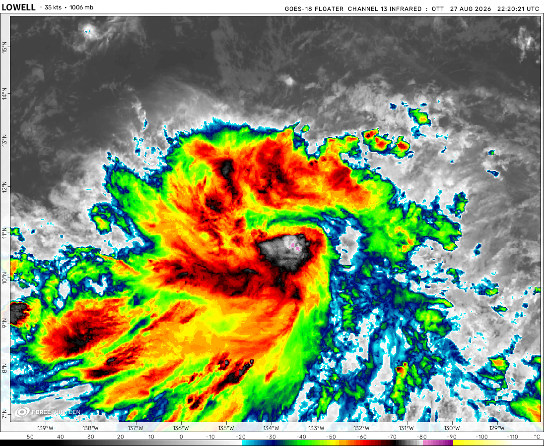
Tropical Storm Lowell was located near 12.9°N, 147.0°W, or about 713 miles (1148 km) southeast of Hilo, Hawaii. Lowell has maximum sustained winds of 55 knots and a minimum central pressure of 995 millibars.
The remnants of Saudel was located near 19.5°N, 112.9°E, or about 180 miles (289 km) east-southeast of Haikou, Hainan Island. Saudel has maximum sustained winds of 25 knots and a minimum central pressure of 994 millibars.
Subtropical Depression Etau was located near 37.5°N, 168.7°E, or about 1030 miles (1658 km) northwest of Midway Atoll. Etau has maximum sustained winds of 25 knots and a minimum central pressure of 1003 millibars.
Invest 94W was located near 22.6°N, 131.6°E, or about 226 miles (363 km) south of Minami-Daitō Island, Japan. 94W has maximum sustained winds of 35 knots and a minimum central pressure of 999 millibars.
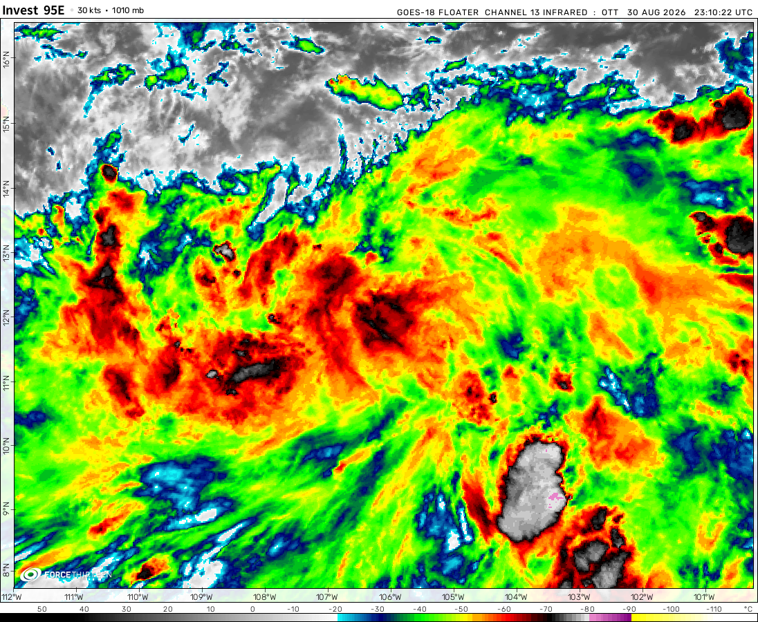
Invest 95E was located near 13.1°N, 107.9°W, or about 443 miles (714 km) south-southeast of Socorro Island, Mexico. 95E has maximum sustained winds of 30 knots and a minimum central pressure of 1006 millibars.
Invest 95W was located near 15.0°N, 149.2°E, or about 316 miles (509 km) east-northeast of Hagåtña, Guam. 95W has maximum sustained winds of 15 knots and a minimum central pressure of 1007 millibars.
Invest 96W was located near 23.0°N, 115.8°E, or about 114 miles (184 km) east-northeast of Hong Kong. 96W has maximum sustained winds of 20 knots and a minimum central pressure of 997 millibars.
Subtropical Storm Bang-lang was located near 44.1°N, 169.6°E, or about 795 miles (1279 km) southeast of Petropavlovsk-Kamchatsky, Russia. Bang-lang has maximum sustained winds of 40 knots and a minimum central pressure of 999 millibars.
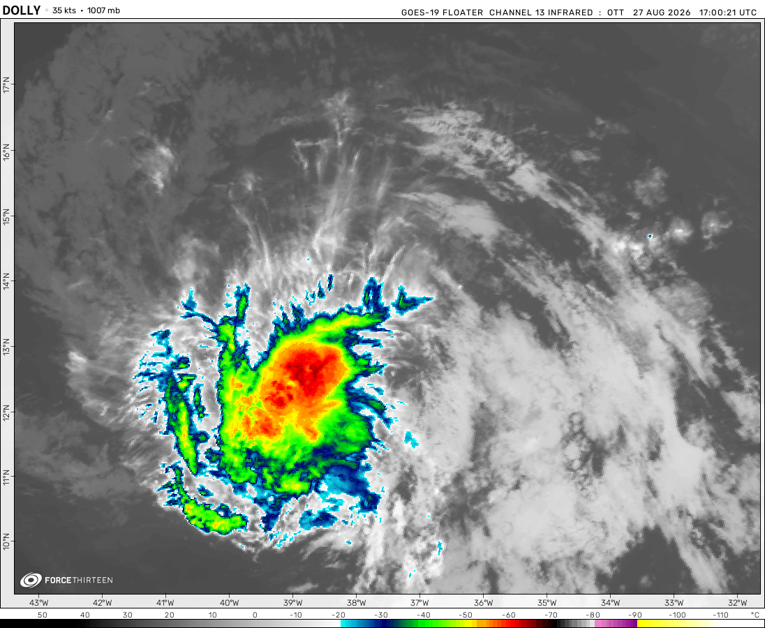
The remnants of Dolly was located near 20.0°N, 70.6°W, or about 113 miles (182 km) north-northwest of Santo Domingo, Dominican Republic. Dolly has maximum sustained winds of 30 knots and a minimum central pressure of 1013 millibars.
Cookies help us ensure our site works securely, continually make improvements, and personalize your browsing experience.
Click 'Accept All Cookies' to get the best browsing experience. You can change these settings at any time by clicking 'Manage My Cookies' below.
Functional
Always active
The technical storage or access is strictly necessary for the legitimate purpose of enabling the use of a specific service explicitly requested by the subscriber or user, or for the sole purpose of carrying out the transmission of a communication over an electronic communications network.
Preferences
The technical storage or access is necessary for the legitimate purpose of storing preferences that are not requested by the subscriber or user.
Statistics
The technical storage or access that is used exclusively for statistical purposes.The technical storage or access that is used exclusively for anonymous statistical purposes. Without a subpoena, voluntary compliance on the part of your Internet Service Provider, or additional records from a third party, information stored or retrieved for this purpose alone cannot usually be used to identify you.
Marketing
The technical storage or access is required to create user profiles to send advertising, or to track the user on a website or across several websites for similar marketing purposes.

 View more imageryAnimated GIF
 View more imageryAnimated GIF
 View more imageryAnimated GIF
 View more imageryAnimated GIF
 View more imageryAnimated GIF
 View more imageryAnimated GIF
 View more imageryAnimated GIF
 View more imageryAnimated GIF
 View more imageryAnimated GIF
 View more imageryAnimated GIF
 View more imageryAnimated GIF
what storm is this?
Guess the storm.
Finaly every thing is developing!!!!!!!!!!!
Why does everyone hate me?
IDK
Why is every thing so quiet?
Idk
Hiii
Why is there so many invests over Australia??
Yea Why?
Because it’s Australia
Can anyone guess my favorite tropical systum?
Typhoon Hinnamnor
Typhoon Meranti
Typhoon Guchol
Hurricane Elsa
Hurricane Otis
Cyclone Katrina-Victor-Cindy
Super Typhoon Hinnamnor
Maybe the South pacific can finally chill out. It’s had a lot of activity lately.
Does anyone know what the Atlantic will look like next hurricane season?
Preliminary outlooks say that the Caribbean and the east Atlantic could be hotspots next season.
I dont think that this is a TD who thinks the same? that seems very organized.
Yeah I was thinking the same thing.
IDK why other people dont think the same as us.
South Pacific literally pumping up storms left and right while the SWIO and AUS are inactive
215 mph shouldnt be possible (PATRICIA)
But yet, it is. It takes a lot of energy and oceanic heat for it to intensify that much.
The future is here.
Dang, South Pacific on fire rn
I know a great weather website: http://www.ventusky.com. Those who know, answer.
I ALSO KNOW THIS
https://zoom.earth/maps/satellite/
One possible storm might form in the South Pacific
I am deleting my account
no PLEASE
Don’t worry I will move to a new account
Everything will be fine, the Killer of Weather.
Kirrily is back.
Not for long I presume
Qui sait, après tout. Le cyclone Freddy s’est reformé à deux reprises.
Who knows, after all. Cyclone Freddy reformed twice.
Hurricanes Lee in 2017 and katrina in 2005 there structure look simmalar.
Only because they are category 5’s which have great structure being hurricanes.
Lee in 2017
Not Lee in 2023
Look at the tag on Hurricane Lee.
hello
hello