Tropical Storm Lala was located near 33.3°N, 175.2°W, or about 375 miles (603 km) north-northeast of Midway Atoll. Lala has maximum sustained winds of 55 knots and a minimum central pressure of 988 millibars.
Tropical Depression Moke was located near 15.4°N, 159.5°W, or about 417 miles (671 km) southwest of Hilo, Hawaii. Moke has maximum sustained winds of 30 knots and a minimum central pressure of 1004 millibars.
Tropical Storm Iselle was located near 18.2°N, 116.7°W, or about 130 miles (209 km) west of Clarion Island, Mexico. Iselle has maximum sustained winds of 55 knots and a minimum central pressure of 992 millibars.
Typhoon Saudel was located near 24.9°N, 133.5°E, or about 155 miles (249 km) east-southeast of Minami-Daitō Island, Japan. Saudel has maximum sustained winds of 100 knots and a minimum central pressure of 954 millibars.
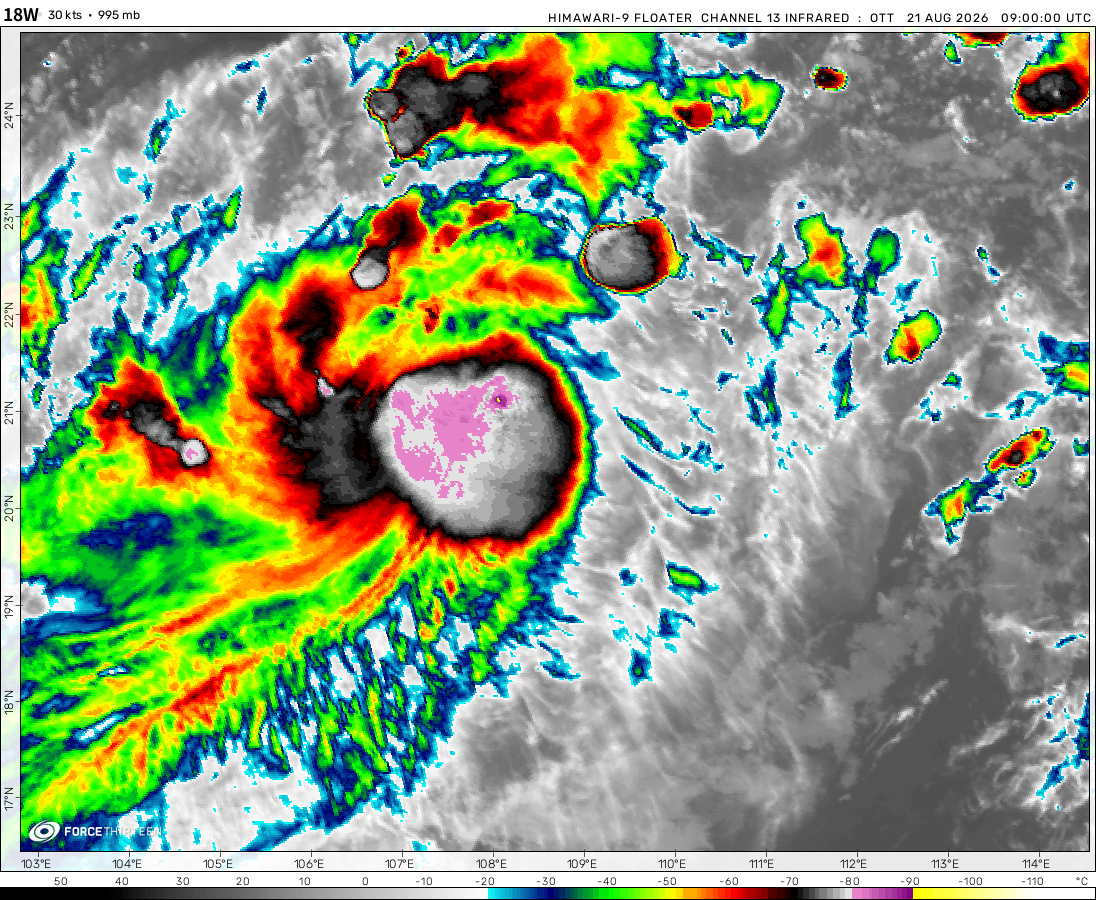
Tropical Storm Narra was located near 19.6°N, 107.3°E, or about 137 miles (220 km) southeast of Hanoi, Vietnam. Narra has maximum sustained winds of 40 knots and a minimum central pressure of 990 millibars.
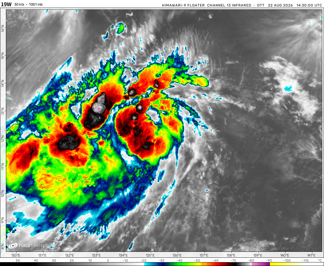
Tropical Depression Atsani was located near 16.7°N, 138.3°E, or about 484 miles (780 km) west-northwest of Hagåtña, Guam. Atsani has maximum sustained winds of 30 knots and a minimum central pressure of 1001 millibars.
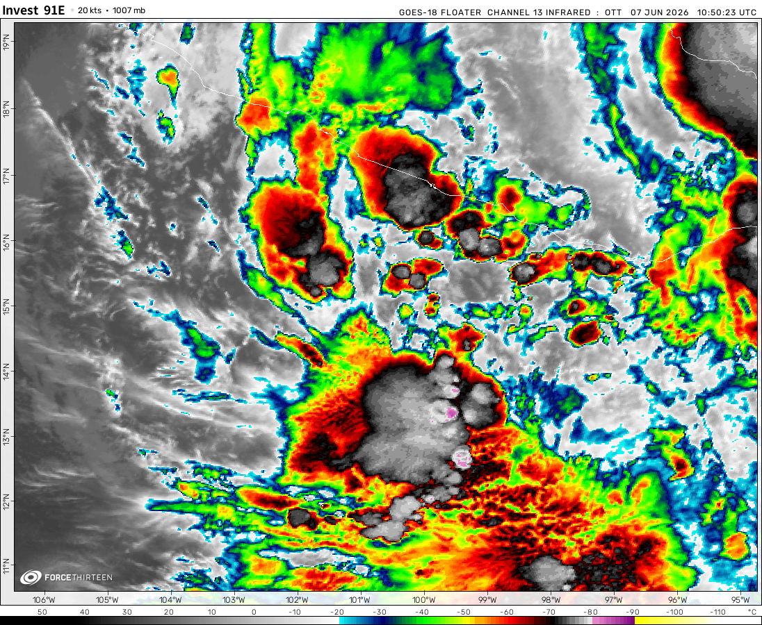
Invest 91E was located near 12.5°N, 121.3°W, or about 596 miles (959 km) southwest of Clarion Island, Mexico. 91E has maximum sustained winds of 30 knots and a minimum central pressure of 1007 millibars.
Invest 95L was located near 30.4°N, 60.5°W, or about 285 miles (458 km) east-southeast of Hamilton, Bermuda. 95L has maximum sustained winds of 25 knots and a minimum central pressure of 1016 millibars.
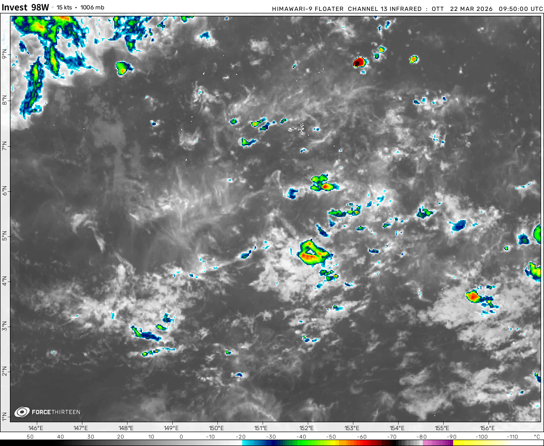
Invest 98W was located near 25.5°N, 117.9°E, or about 231 miles (372 km) west of Taipei City, Taiwan. 98W has maximum sustained winds of 20 knots and a minimum central pressure of 996 millibars.
Invest 94W was located near 26.3°N, 119.0°E, or about 182 miles (293 km) west-northwest of Taipei City, Taiwan. 94W has maximum sustained winds of 20 knots and a minimum central pressure of 1001 millibars.
The Invest and Cyclone Amphan are storms, aren’t they? lol
North-West Pacific Ocean
6 years ago
I want Amphan stronger than 1999 Odisha cyclone(if Amphan stronger than 1999 Odisha cyclone so Amphan will be strongest cyclone in North Indian cyclones season.
Cookies help us ensure our site works securely, continually make improvements, and personalize your browsing experience.
Click 'Accept All Cookies' to get the best browsing experience. You can change these settings at any time by clicking 'Manage My Cookies' below.
Functional
Always active
The technical storage or access is strictly necessary for the legitimate purpose of enabling the use of a specific service explicitly requested by the subscriber or user, or for the sole purpose of carrying out the transmission of a communication over an electronic communications network.
Preferences
The technical storage or access is necessary for the legitimate purpose of storing preferences that are not requested by the subscriber or user.
Statistics
The technical storage or access that is used exclusively for statistical purposes.The technical storage or access that is used exclusively for anonymous statistical purposes. Without a subpoena, voluntary compliance on the part of your Internet Service Provider, or additional records from a third party, information stored or retrieved for this purpose alone cannot usually be used to identify you.
Marketing
The technical storage or access is required to create user profiles to send advertising, or to track the user on a website or across several websites for similar marketing purposes.

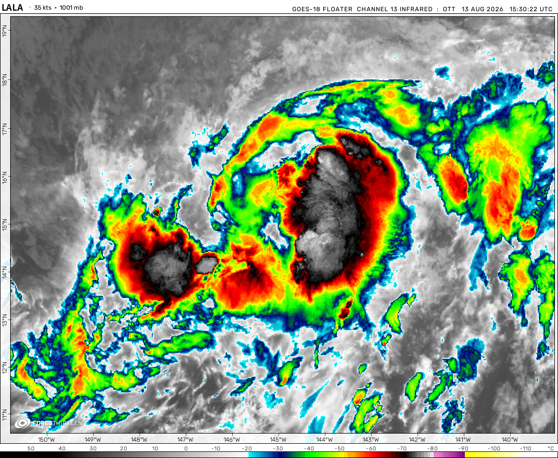 View more imageryAnimated GIF
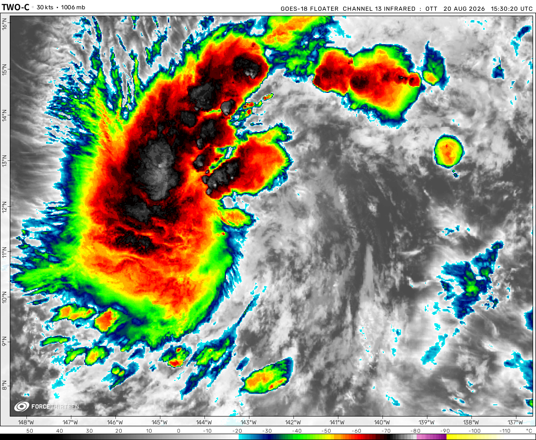 View more imageryAnimated GIF
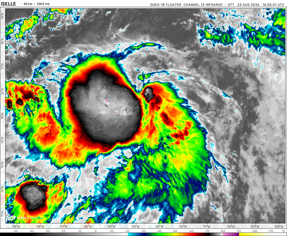 View more imageryAnimated GIF
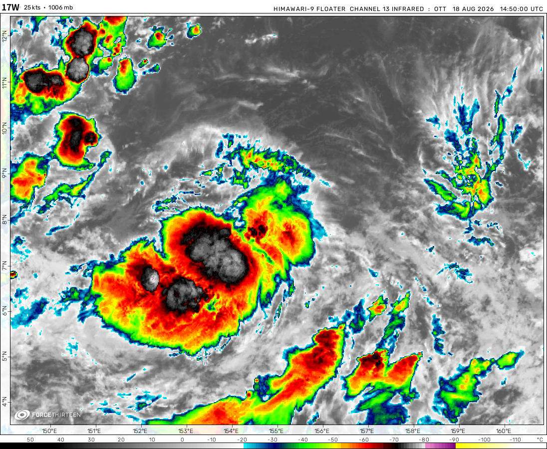 View more imageryAnimated GIF
 View more imageryAnimated GIF
 View more imageryAnimated GIF
 View more imageryAnimated GIF
 View more imageryAnimated GIF
 View more imageryAnimated GIF
 View more imageryAnimated GIF
BREAKING: Invest-91L has been designated
when i cant see the cyclone tracker
AOI in EPAC has a 60% formation chance
Invest 91E has a 70% chance of development in the next 5 days
There is a storm right next to Florida that has a 20% chance to form in the next two days.
There’s an area of interest off the west coast of Florida that has a 20% chance of development over the next 48- 120 hours near where I live
that thing by Florida should be tropical storm Bertha
Is there maybe a tropical depression/tropical storm near Taiwan?
thats what i thought
I thought it was subtropical
Oof
Both tropical storms are going to merge and absorb the weaker one!
No, it is a malfunction. There is only one tropical storm.
don’t think Mangga will not be a Cat 1
Maanga was a cat 1 on the Australian scale the Australian scale is different from the Saffir Simpson scale
of course
Tropical storm invest has now formed?
No, it’s just a glitch.
Amphan is dying inland now and now a high chance for formation of a cyclone to its south
Amphan has made landfall, thankfully not a category 3-5.
98S is here
Wait, doesn’t Tropical Storm Arthur still exist right now? Why isn’t it on here?
Now Arthur still a ex-tropical cyclone
whats left of it will impact Bermuda
well, no storms, so we can all calm the [blank] down.
The Invest and Cyclone Amphan are storms, aren’t they? lol
I want Amphan stronger than 1999 Odisha cyclone(if Amphan stronger than 1999 Odisha cyclone so Amphan will be strongest cyclone in North Indian cyclones season.
That’s probably not going to happen due to an EWRC kicking in.
and now the EWRC complete, with at least -85 cloudtop
I wants more storm!!!!!!!!!!!!!!!!!!!!!!!!!!!!!!!!!!!!!!!!
Now let’s see if it will be stronger than Haiyan.
I doubt that, but anything is possible.
never
and
never
stronger than Haiyan
Amphan definitely will be a cat 5! No doubts.
Now it is
he is
That’s right ,901 mb already
I can’t think Tropical Storm Arthur will formed.But now it formed.Oh my God!!!!!!!!!!!!!
@force thirteen please reply:how did you make this website