Tropical Storm Edouard was located near 28.4°N, 91.6°W, or about 141 miles (228 km) southwest of New Orleans, Louisiana. Edouard has maximum sustained winds of 35 knots and a minimum central pressure of 1010 millibars.
Hurricane Karina was located near 17.7°N, 126.3°W, or about 762 miles (1226 km) west of Clarion Island, Mexico. Karina has maximum sustained winds of 115 knots and a minimum central pressure of 950 millibars.
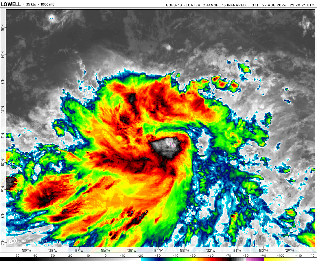
Tropical Storm Lowell was located near 12.9°N, 147.0°W, or about 713 miles (1148 km) southeast of Hilo, Hawaii. Lowell has maximum sustained winds of 55 knots and a minimum central pressure of 995 millibars.
Tropical Depression Saudel was located near 19.5°N, 112.9°E, or about 180 miles (289 km) east-southeast of Haikou, Hainan Island. Saudel has maximum sustained winds of 25 knots and a minimum central pressure of 994 millibars.
Subtropical Depression Etau was located near 37.5°N, 168.7°E, or about 1030 miles (1658 km) northwest of Midway Atoll. Etau has maximum sustained winds of 25 knots and a minimum central pressure of 1003 millibars.
Invest 94W was located near 22.6°N, 131.6°E, or about 226 miles (363 km) south of Minami-Daitō Island, Japan. 94W has maximum sustained winds of 35 knots and a minimum central pressure of 999 millibars.
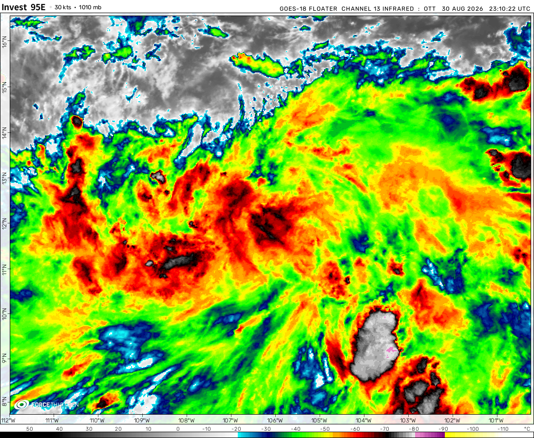
Invest 95E was located near 13.1°N, 107.9°W, or about 443 miles (714 km) south-southeast of Socorro Island, Mexico. 95E has maximum sustained winds of 30 knots and a minimum central pressure of 1006 millibars.
Invest 95W was located near 15.0°N, 149.2°E, or about 316 miles (509 km) east-northeast of Hagåtña, Guam. 95W has maximum sustained winds of 15 knots and a minimum central pressure of 1007 millibars.
Invest 96W was located near 23.0°N, 115.8°E, or about 114 miles (184 km) east-northeast of Hong Kong. 96W has maximum sustained winds of 20 knots and a minimum central pressure of 997 millibars.
Subtropical Storm Bang-lang was located near 44.1°N, 169.6°E, or about 795 miles (1279 km) southeast of Petropavlovsk-Kamchatsky, Russia. Bang-lang has maximum sustained winds of 40 knots and a minimum central pressure of 999 millibars.
The remnants of Dolly was located near 20.0°N, 70.6°W, or about 113 miles (182 km) north-northwest of Santo Domingo, Dominican Republic. Dolly has maximum sustained winds of 30 knots and a minimum central pressure of 1013 millibars.
But there is suppost to be plenty of windshear were it is, it is not going to hit any land and it will die very soon!!!
acay
2 years ago
Why is there an ad telling me to download before continuing? Im just checking the PTC-5 and it poped up. I was still able to skip it, but what if i accidentally clicked/tapped on it, then what could possibly happen to me? That was rather concerning, and it would be nice if there are answers to this
I once clicked on it thinking it was an actual download button. It took me to a gaming website, but sometimes I got a possible scamming website so just avoid clicking on those buttons.
Lol
2 years ago
Son-tinh has just been named!
acay
2 years ago
Can u guys list factors that can affect a tropical cyclone’s intensity?
Cookies help us ensure our site works securely, continually make improvements, and personalize your browsing experience.
Click 'Accept All Cookies' to get the best browsing experience. You can change these settings at any time by clicking 'Manage My Cookies' below.
Functional
Always active
The technical storage or access is strictly necessary for the legitimate purpose of enabling the use of a specific service explicitly requested by the subscriber or user, or for the sole purpose of carrying out the transmission of a communication over an electronic communications network.
Preferences
The technical storage or access is necessary for the legitimate purpose of storing preferences that are not requested by the subscriber or user.
Statistics
The technical storage or access that is used exclusively for statistical purposes.The technical storage or access that is used exclusively for anonymous statistical purposes. Without a subpoena, voluntary compliance on the part of your Internet Service Provider, or additional records from a third party, information stored or retrieved for this purpose alone cannot usually be used to identify you.
Marketing
The technical storage or access is required to create user profiles to send advertising, or to track the user on a website or across several websites for similar marketing purposes.

 View more imageryAnimated GIF
 View more imageryAnimated GIF
 View more imageryAnimated GIF
 View more imageryAnimated GIF
 View more imageryAnimated GIF
 View more imageryAnimated GIF
 View more imageryAnimated GIF
 View more imageryAnimated GIF
 View more imageryAnimated GIF
 View more imageryAnimated GIF
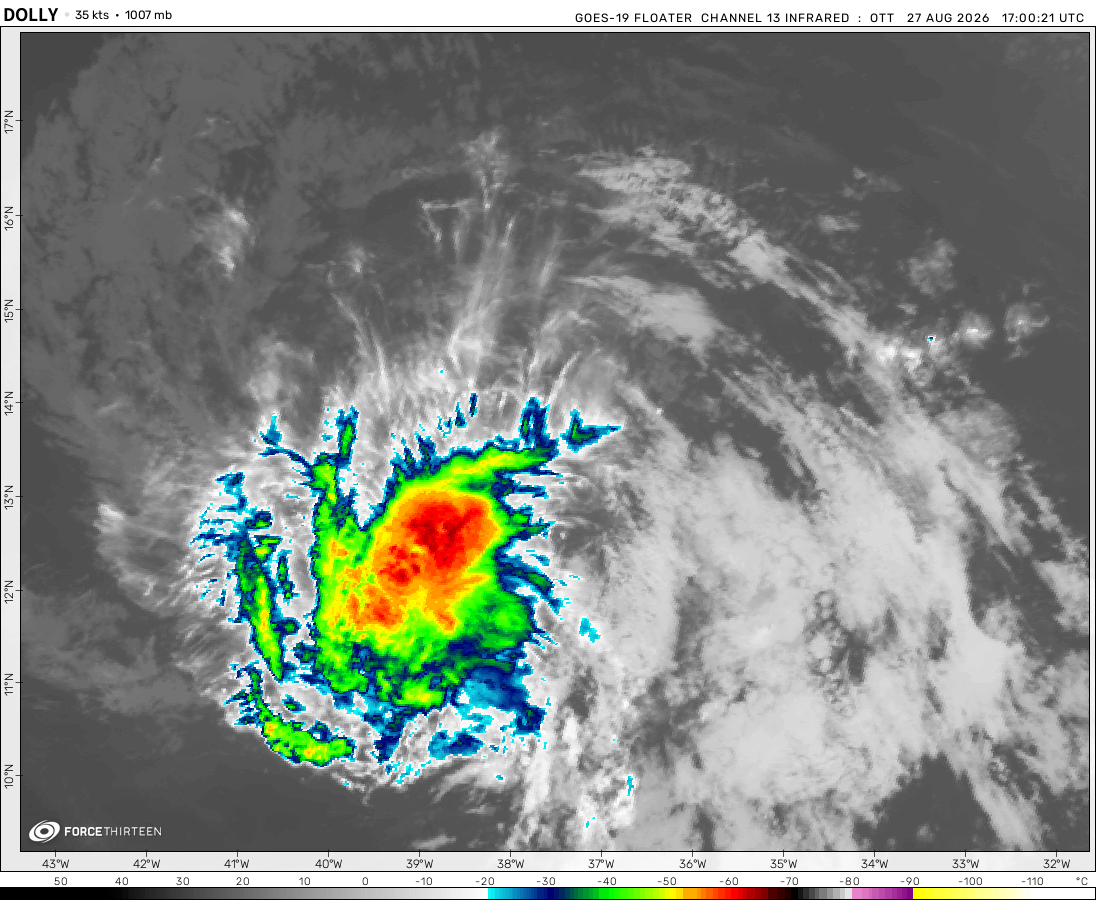 View more imageryAnimated GIF
I Toataly underestimated Ernesto It is 90 Mph
I’m supprized with Hurricane Ernesto
two new potential invests in WPAC (not the current ones) in the open seas
how much does the website earn from ads?
both of the storms are sheared heavily
ight im gonna try to list all of the conditions that can affect a tropical cyclone:
I must have missed something that I dont know, so that would be nice if someone can fix or add more. thanks
And the important one: Coriolis effect
And the Coriolis Force
Is it just me or does Typhoon Ampil looks like Typhoon Wutip of 2019 just rotated 90 degrees clockwise
Ernesto has a huge eye forming
now Ampil is an annular typhoon
Ampil now does look like Dorian of the 2019 after stalling: weak convection and banding, ragged eye
also, Ernesto is facing some real wind shear,
do note that usually the high wind shear value is caused by the TS’s outflow, that tricks u into thinking the conditions are unfavorable
In the force-13 video it says ernesto will wweaken and head south east and dieout.
Ok, so I think I know ernestos path, it is likely to flow more eastern and weaken along the way, might not even become a hurricane!
Ernesto’s outflow is doing really well if you pay close attention, which is worrying yet fascinating
( equatorward + poleward flow along side)
That outflow is creating a zone of low shear over its core, high shear everywhere else
But there is suppost to be plenty of windshear were it is, it is not going to hit any land and it will die very soon!!!
Why is there an ad telling me to download before continuing? Im just checking the PTC-5 and it poped up. I was still able to skip it, but what if i accidentally clicked/tapped on it, then what could possibly happen to me? That was rather concerning, and it would be nice if there are answers to this
I once clicked on it thinking it was an actual download button. It took me to a gaming website, but sometimes I got a possible scamming website so just avoid clicking on those buttons.
Son-tinh has just been named!
Can u guys list factors that can affect a tropical cyclone’s intensity?
1) Sea surface temperatures
2) Wind shear
3) Mid level humidity
4) Instability
Here is another wind shear map
Wow
F13 noted this in their bulletin last night. Southern Hemisphere activity in August????
i did think tropical storm Fabio was dissipating because of the Fujiwhara and also it was evident that it was weakening due to the satellite imagery