Tropical Storm Edouard was located near 28.4°N, 91.6°W, or about 141 miles (228 km) southwest of New Orleans, Louisiana. Edouard has maximum sustained winds of 35 knots and a minimum central pressure of 1010 millibars.
Hurricane Karina was located near 17.7°N, 126.3°W, or about 762 miles (1226 km) west of Clarion Island, Mexico. Karina has maximum sustained winds of 115 knots and a minimum central pressure of 950 millibars.
Tropical Storm Lowell was located near 12.9°N, 147.0°W, or about 713 miles (1148 km) southeast of Hilo, Hawaii. Lowell has maximum sustained winds of 55 knots and a minimum central pressure of 995 millibars.
Tropical Depression Saudel was located near 19.5°N, 112.9°E, or about 180 miles (289 km) east-southeast of Haikou, Hainan Island. Saudel has maximum sustained winds of 25 knots and a minimum central pressure of 994 millibars.
Subtropical Depression Etau was located near 37.5°N, 168.7°E, or about 1030 miles (1658 km) northwest of Midway Atoll. Etau has maximum sustained winds of 25 knots and a minimum central pressure of 1003 millibars.
Invest 94W was located near 22.5°N, 132.2°E, or about 239 miles (385 km) south-southeast of Minami-Daitō Island, Japan. 94W has maximum sustained winds of 30 knots and a minimum central pressure of 999 millibars.
Invest 95E was located near 13.1°N, 107.9°W, or about 443 miles (714 km) south-southeast of Socorro Island, Mexico. 95E has maximum sustained winds of 30 knots and a minimum central pressure of 1006 millibars.
Invest 95W was located near 15.0°N, 149.2°E, or about 316 miles (509 km) east-northeast of Hagåtña, Guam. 95W has maximum sustained winds of 15 knots and a minimum central pressure of 1007 millibars.
Invest 96W was located near 23.0°N, 115.8°E, or about 114 miles (184 km) east-northeast of Hong Kong. 96W has maximum sustained winds of 20 knots and a minimum central pressure of 997 millibars.
Subtropical Storm Bang-lang was located near 44.1°N, 169.6°E, or about 795 miles (1279 km) southeast of Petropavlovsk-Kamchatsky, Russia. Bang-lang has maximum sustained winds of 40 knots and a minimum central pressure of 999 millibars.
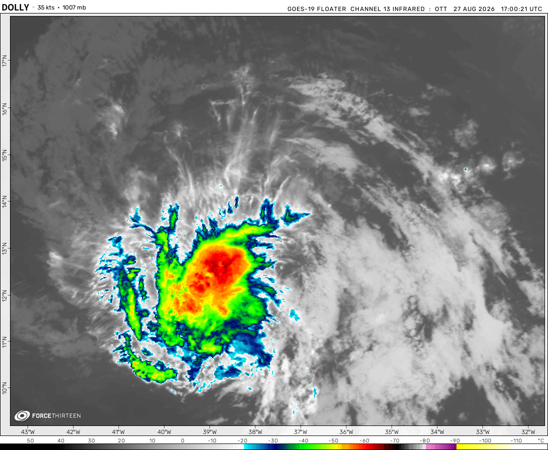
The remnants of Dolly was located near 20.0°N, 70.6°W, or about 113 miles (182 km) north-northwest of Santo Domingo, Dominican Republic. Dolly has maximum sustained winds of 30 knots and a minimum central pressure of 1013 millibars.
Oh, I just figured that out LOL this website has a new page. Could you go check it out?
Hurricane Francine is now a tropical depression still causing a rain threat further north inland.
Force-23/Fan
1 year ago
Invest 92L is weakening bro, it is going to dissipate.
Recently, during 2022, force-13 released a video about the 2022 hurricane season, but the storms were op.
Do you think they should keep remaking these videos each year?
Like this title, 2024 Team Hypothetical Hurricane Season Animation
I have a theory, that the final storm named “Nathan” it’s way stronger than an armageddon storm, then it should be called, a category 5 armageddon storm.
yay, still could become a category 2. But should make landfall late Wednesday or early Thursday.
Force-23/Fan
1 year ago
Francine is weakening due to dry air, and might not even become a category 2. Maybe, when the dry air moves out, it could strengthen into a hurricane sooner and still become a category 2 hurricane hitting Louisiana, and texas.
I mean, there were several factors that I got right which led me to figuring out the potential track.
Ocean heat content, wind shear, and some other things.
Cookies help us ensure our site works securely, continually make improvements, and personalize your browsing experience.
Click 'Accept All Cookies' to get the best browsing experience. You can change these settings at any time by clicking 'Manage My Cookies' below.
Functional
Always active
The technical storage or access is strictly necessary for the legitimate purpose of enabling the use of a specific service explicitly requested by the subscriber or user, or for the sole purpose of carrying out the transmission of a communication over an electronic communications network.
Preferences
The technical storage or access is necessary for the legitimate purpose of storing preferences that are not requested by the subscriber or user.
Statistics
The technical storage or access that is used exclusively for statistical purposes.The technical storage or access that is used exclusively for anonymous statistical purposes. Without a subpoena, voluntary compliance on the part of your Internet Service Provider, or additional records from a third party, information stored or retrieved for this purpose alone cannot usually be used to identify you.
Marketing
The technical storage or access is required to create user profiles to send advertising, or to track the user on a website or across several websites for similar marketing purposes.

 View more imageryAnimated GIF
 View more imageryAnimated GIF
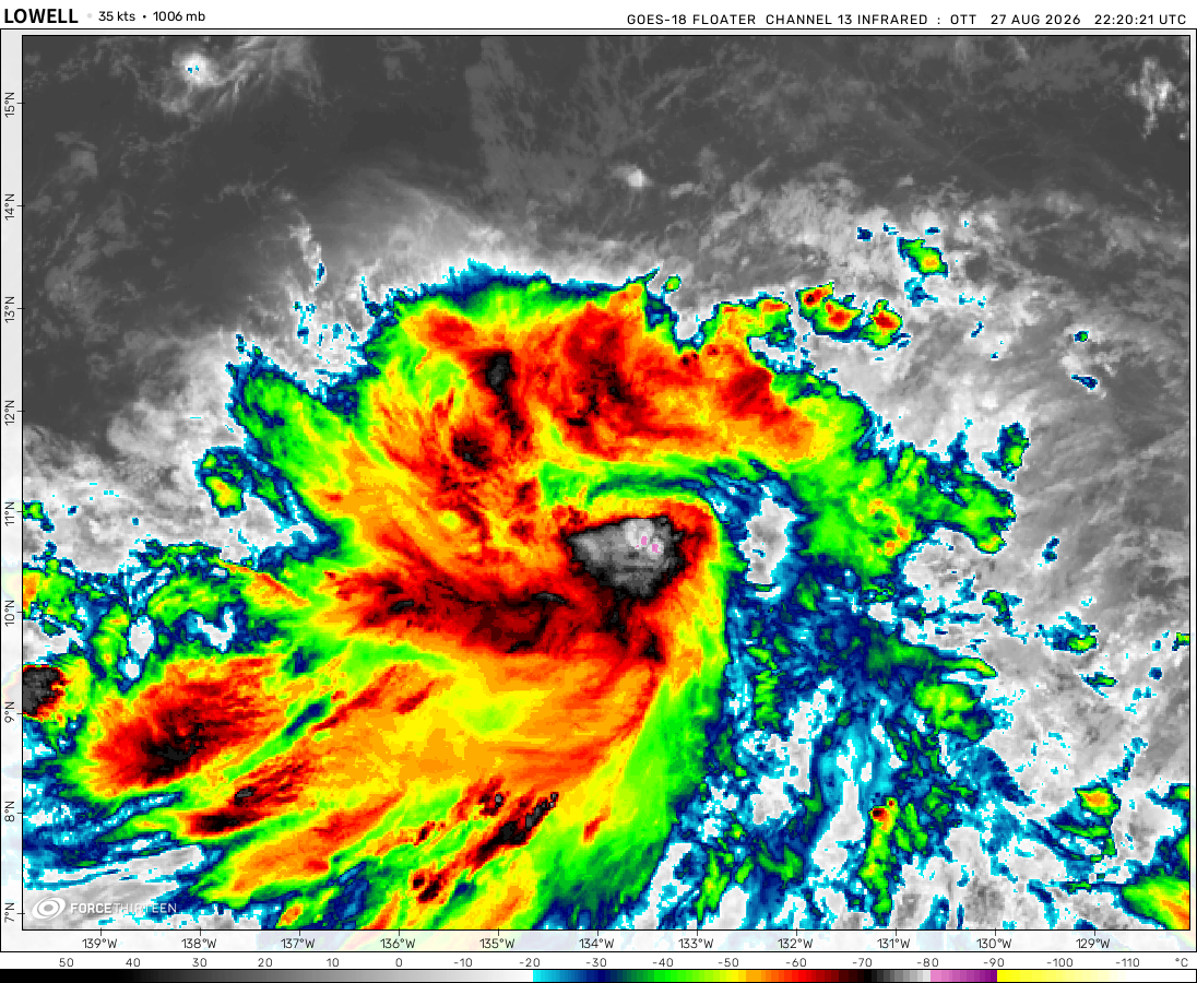 View more imageryAnimated GIF
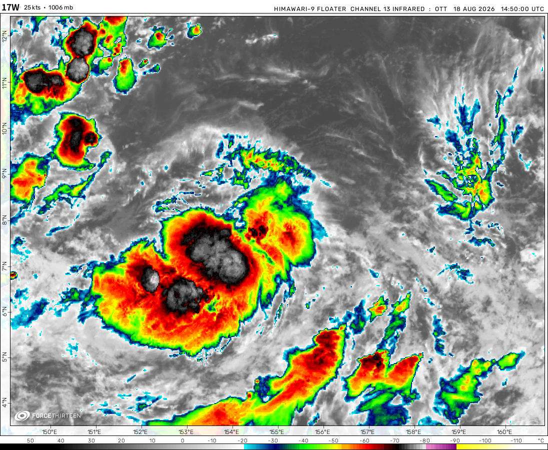 View more imageryAnimated GIF
 View more imageryAnimated GIF
 View more imageryAnimated GIF
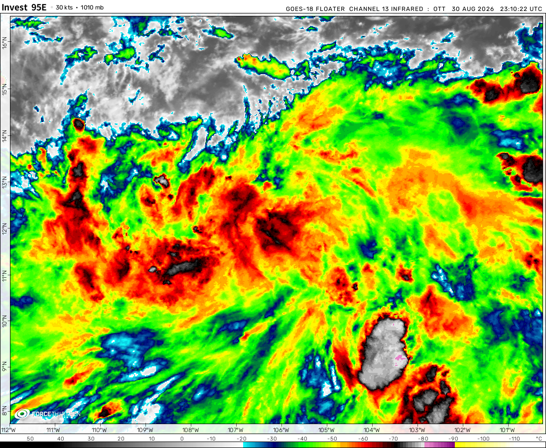 View more imageryAnimated GIF
 View more imageryAnimated GIF
 View more imageryAnimated GIF
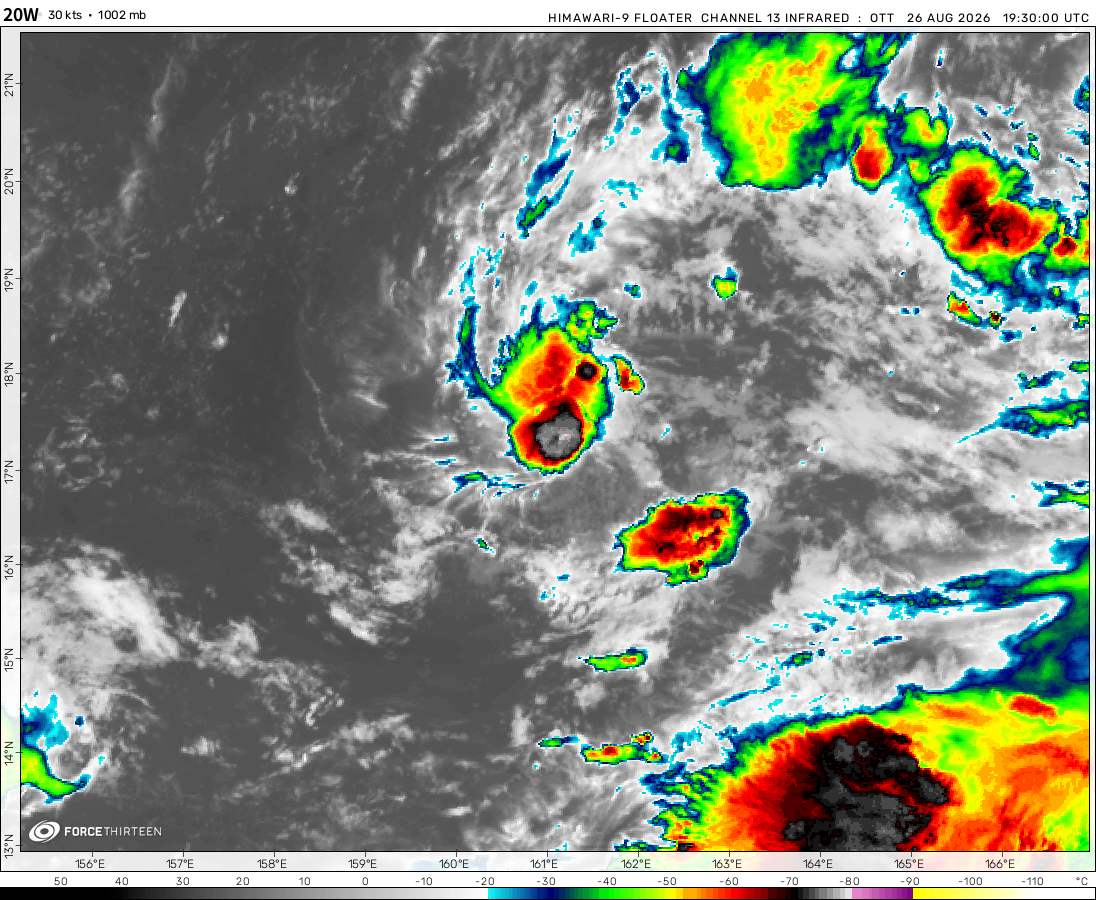 View more imageryAnimated GIF
 View more imageryAnimated GIF
Potential tropical storm soon. Tropical storm Gordon?
Tropical depression 07L will soon become a tropical storm in the Atlantic and may soon become a potential hurricane.
How can I give you the link to my website?
IDk, there are a few different ways, email? no, try the link again. If my link is posted, then it must work.
It doesnt work
Oh, I just figured that out LOL this website has a new page. Could you go check it out?
Hurricane Francine is now a tropical depression still causing a rain threat further north inland.
Invest 92L is weakening bro, it is going to dissipate.
Started his 5 years ago and just updated it
Wait, what?! Which website is that? Give me Link
Links don’t work on this
Whydoes everyone want the link? (Also can we keep the link on here?)
How can get the link to you
I also added a chat system to my website, which only allows you to talk with an AI which is useless.
please give me the link I am intrested
Hypothetical Hurricane Francine C5 395 Mph winds 800 Mbar presure
Ultra blackhole Valerie
MPH:70,500
Deaths:7,000,000,000
Cost:90,000,000,000,000
Ultra blackhole Valerie destroys Earth before finally dying out.
Force-13 Hypothetical videos
Recently, during 2022, force-13 released a video about the 2022 hurricane season, but the storms were op.
Do you think they should keep remaking these videos each year?
Like this title, 2024 Team Hypothetical Hurricane Season Animation
yes!!!!!!!
I have a theory, that the final storm named “Nathan” it’s way stronger than an armageddon storm, then it should be called, a category 5 armageddon storm.
Nah Mini Black hole “Nathan”
black holes theoretically rotate at 1,000 times a second.
C1 Francine
yay, still could become a category 2. But should make landfall late Wednesday or early Thursday.
Francine is weakening due to dry air, and might not even become a category 2. Maybe, when the dry air moves out, it could strengthen into a hurricane sooner and still become a category 2 hurricane hitting Louisiana, and texas.
Fancine wibe a C1
TD 12W
Wait, you have a school district? It has the house icon.
bro’s using a Chromebook from school to type.
It called oppen the home page or “New tab”
No, the icon that represents a house-like shape, goes to another website which can allow you to access several other education websites.
It oppena newtab fo me.
No, its the plus sign on the right of your tabs that open new tabs.
Ok, so by open a new tab, you mean that homes sing turns your current tab, into a school district-only website.
No it tuns it into a “New tab”
Home page means “New tab”
And it might be diffrent for you
My tabs:
My homepage:
That is also my homepage too
I know that you also are a student as well, because that screeshot that you posted literally says “Student email* (Not to be rude or anything.)
True, but this website could get blocked if I tell you anything else.
Why R we arguing about whats what on a computer?
ok, I live in Ohio where all the goofy ahh madness skibidi happens.
I use my school computer but my (Apple) ID
Man, how did I make all of these predictions?
IDK man
I mean, there were several factors that I got right which led me to figuring out the potential track.
Ocean heat content, wind shear, and some other things.
Super typhoon?
Cat 2 Francine?
I was right, Francine would become a hurricane sooner than Wednesday. And I was right as well, that it would become a category 2 hurricane.
I have proof that I knew that.
My inaccurate website.
Wrong, you forgot one thing, dry air.
60 moh winds
Fujiwhara effect
Is it just me or does it look like 92L is revolving around Disturbance 2 a bit?!!
yea
Francine
TS Francine
I just noticed it. Wow, the Atlantic is active again after 2 weeks.
Also, I think 06L will become a hurricane sooner than Wednesday, maybe late Tuesday.
There is a lot of heat-content near 06L!
I “accidentally” made a knock-off version of this website!
Not posttropical cyclone six. no no no its 06L
It has tropical storm strength why classify it as a “potential tropical cyclone”?