Tropical Storm Edouard was located near 28.4°N, 91.6°W, or about 141 miles (228 km) southwest of New Orleans, Louisiana. Edouard has maximum sustained winds of 35 knots and a minimum central pressure of 1010 millibars.
Hurricane Karina was located near 17.7°N, 126.3°W, or about 762 miles (1226 km) west of Clarion Island, Mexico. Karina has maximum sustained winds of 115 knots and a minimum central pressure of 950 millibars.
Tropical Storm Lowell was located near 12.9°N, 147.0°W, or about 713 miles (1148 km) southeast of Hilo, Hawaii. Lowell has maximum sustained winds of 55 knots and a minimum central pressure of 995 millibars.
The remnants of Saudel was located near 19.5°N, 112.9°E, or about 180 miles (289 km) east-southeast of Haikou, Hainan Island. Saudel has maximum sustained winds of 25 knots and a minimum central pressure of 994 millibars.
Invest 95E was located near 13.1°N, 107.9°W, or about 443 miles (714 km) south-southeast of Socorro Island, Mexico. 95E has maximum sustained winds of 30 knots and a minimum central pressure of 1006 millibars.
Invest 96W was located near 23.0°N, 115.8°E, or about 114 miles (184 km) east-northeast of Hong Kong. 96W has maximum sustained winds of 20 knots and a minimum central pressure of 997 millibars.
Subtropical Storm Bang-lang was located near 44.1°N, 169.6°E, or about 795 miles (1279 km) southeast of Petropavlovsk-Kamchatsky, Russia. Bang-lang has maximum sustained winds of 40 knots and a minimum central pressure of 999 millibars.
Subtropical Depression Etau was located near 36.2°N, 168.4°E, or about 997 miles (1604 km) northwest of Midway Atoll. Etau has maximum sustained winds of 30 knots and a minimum central pressure of 1003 millibars.
Invest 94W was located near 22.3°N, 132.2°E, or about 252 miles (406 km) south-southeast of Minami-Daitō Island, Japan. 94W has maximum sustained winds of 30 knots and a minimum central pressure of 999 millibars.
Invest 95W was located near 14.1°N, 149.8°E, or about 342 miles (550 km) east of Hagåtña, Guam. 95W has maximum sustained winds of 15 knots and a minimum central pressure of 1007 millibars.
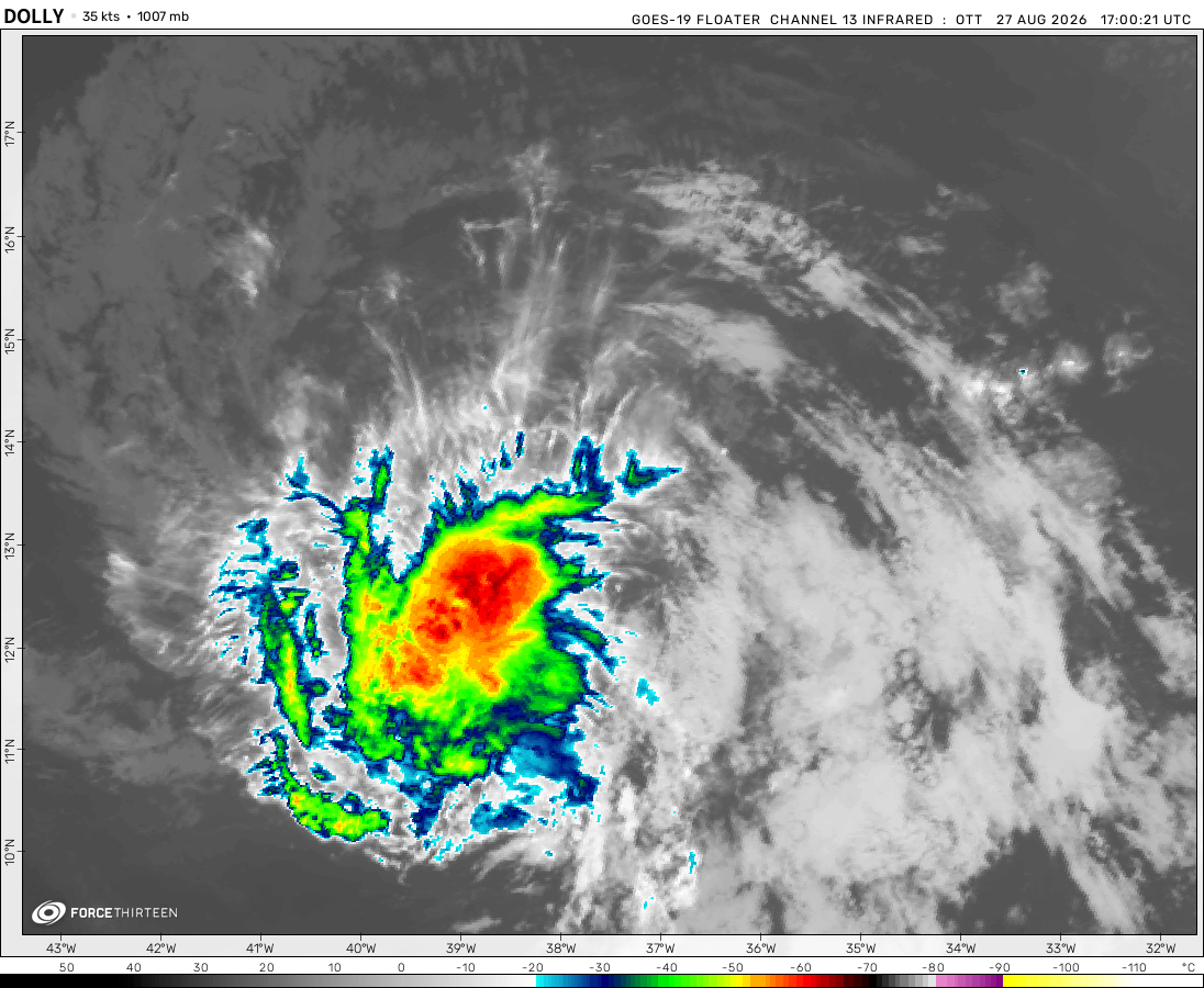
The remnants of Dolly was located near 20.0°N, 70.6°W, or about 113 miles (182 km) north-northwest of Santo Domingo, Dominican Republic. Dolly has maximum sustained winds of 30 knots and a minimum central pressure of 1013 millibars.
UPDATE
The Atlantic disturbance is now Invest AL93.
casualcyclonetrackerguy
1 year ago
Imagine if Dexter is practically Chantal’s cousin.
Hurricane
1 year ago
I feel like it has gone completely under the radar that this, so far, is the least active North Indian Ocean season since 2012 in terms of named storms and depressions, with 0 named storms and 2 official depressions. Every other season since 2012 featured at least one named storm in the early peak.
casualcyclonetrackerguy
1 year ago
Chantal is now the third named Atlantic storm within a two-week timeframe.
casualcyclonetrackerguy
1 year ago
THIRD ATLANTIC DEPRESSION
Hurricane
1 year ago
Taiwan gets hit hard according to the GFS 06Z run… like really hard.
No that run predicted Danas to strike twice… once from the south, which it got fairly accurately, but it predicted the storm to turn-around and do it again from the north.
If I were in the UTC time zone (which I am not), I would probably be going OMG FLOSSIE BECOMEs A MAJOR HURRICANe AT 3 AM REAL OMG!!11!1111!111!!!!!111!!!1 because it’s 3 AM there.
casualcyclonetrackerguy
1 year ago
The frontal boundary that will potentially be responsible for 03L’s formation is approaching the coast.
Chaban Jad
1 year ago
Hurricane Flossie is developing an eye
casualcyclonetrackerguy
1 year ago
WOAHHHH THEY’RE THE SAME COLOR LOL!!!
Hurricane
1 year ago
Rapid intensification underway for Flossie.
casualcyclonetrackerguy
1 year ago
zoom earth update, disturbance potential formation area colors now match the chance color(s), idk whether it just matches 48 hour or 7 day chance or is the median of the two colors/chances because they pushed the update when the only two nhc disturbances have a low formation chance
oh btw this disturbance coloring only shows up when you are viewing the disturbance
casualcyclonetrackerguy
1 year ago
Hey guys, what do you think will be the peak 1-min sustained winds/mean sea-level pressures in the NATL and EPAC basins this year? My predictions are:
Potential NATL Max 1-Min Wind: 160 kt / 190 mph
Potential NATL Min Pressure: 880 mbar / 25.99 inHg
Potential EPAC Max 1-Min Wind: 155 kt / 175 mph
Potential EPAC Min Pressure: 900 mbar / 26.58 inHg
Cookies help us ensure our site works securely, continually make improvements, and personalize your browsing experience.
Click 'Accept All Cookies' to get the best browsing experience. You can change these settings at any time by clicking 'Manage My Cookies' below.
Functional
Always active
The technical storage or access is strictly necessary for the legitimate purpose of enabling the use of a specific service explicitly requested by the subscriber or user, or for the sole purpose of carrying out the transmission of a communication over an electronic communications network.
Preferences
The technical storage or access is necessary for the legitimate purpose of storing preferences that are not requested by the subscriber or user.
Statistics
The technical storage or access that is used exclusively for statistical purposes.The technical storage or access that is used exclusively for anonymous statistical purposes. Without a subpoena, voluntary compliance on the part of your Internet Service Provider, or additional records from a third party, information stored or retrieved for this purpose alone cannot usually be used to identify you.
Marketing
The technical storage or access is required to create user profiles to send advertising, or to track the user on a website or across several websites for similar marketing purposes.

 View more imageryAnimated GIF
 View more imageryAnimated GIF
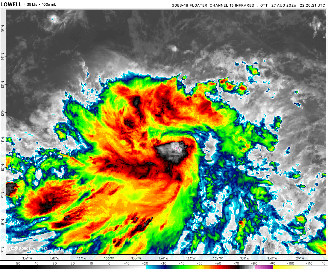 View more imageryAnimated GIF
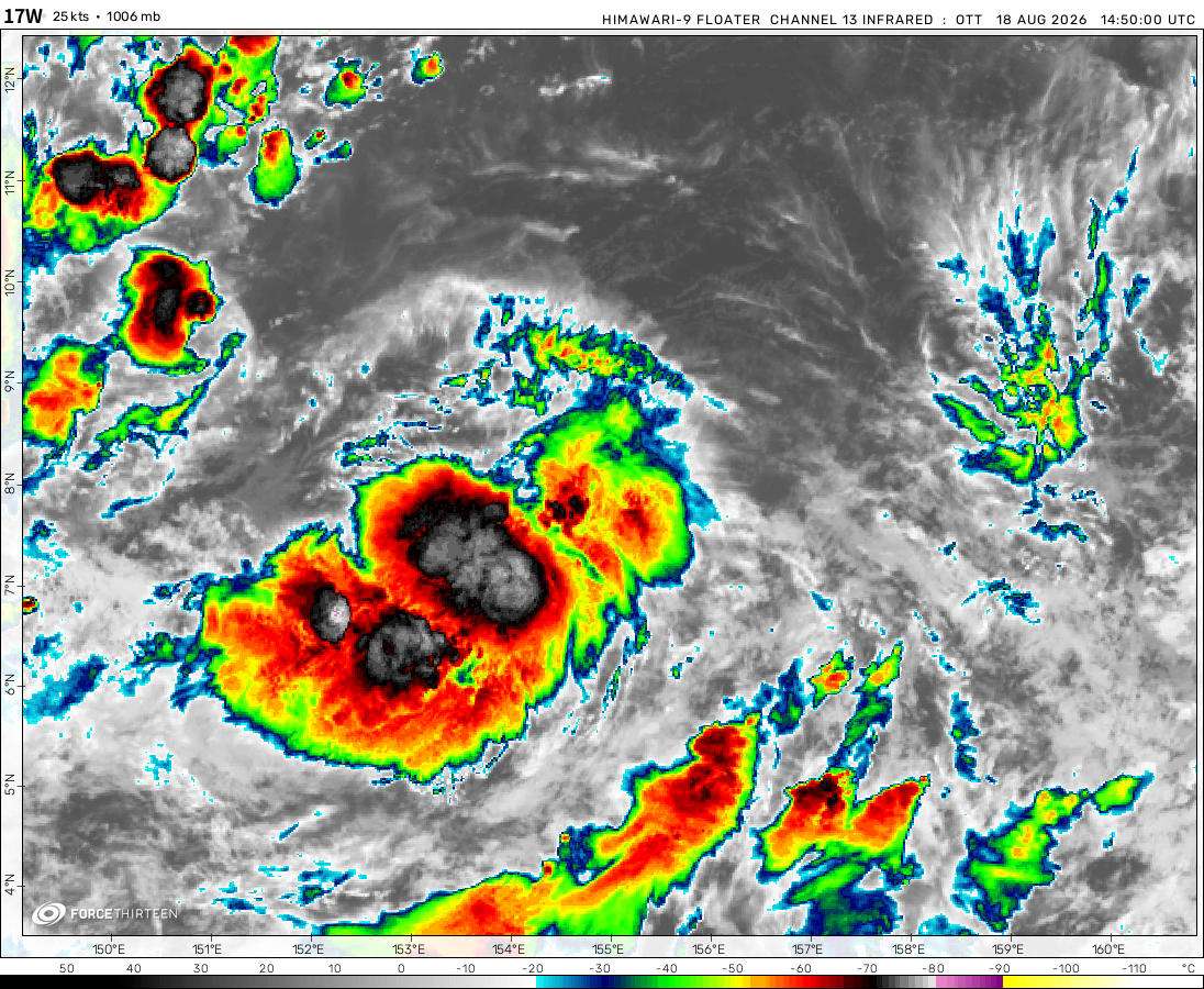 View more imageryAnimated GIF
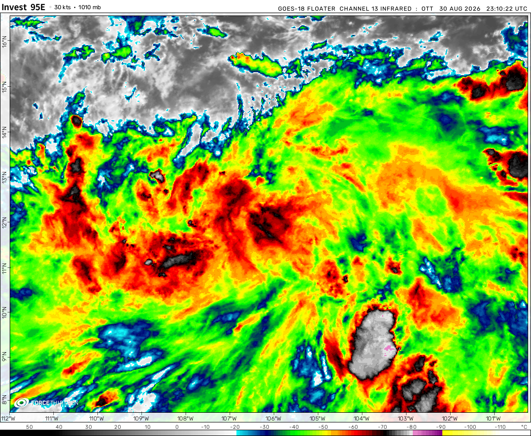 View more imageryAnimated GIF
 View more imageryAnimated GIF
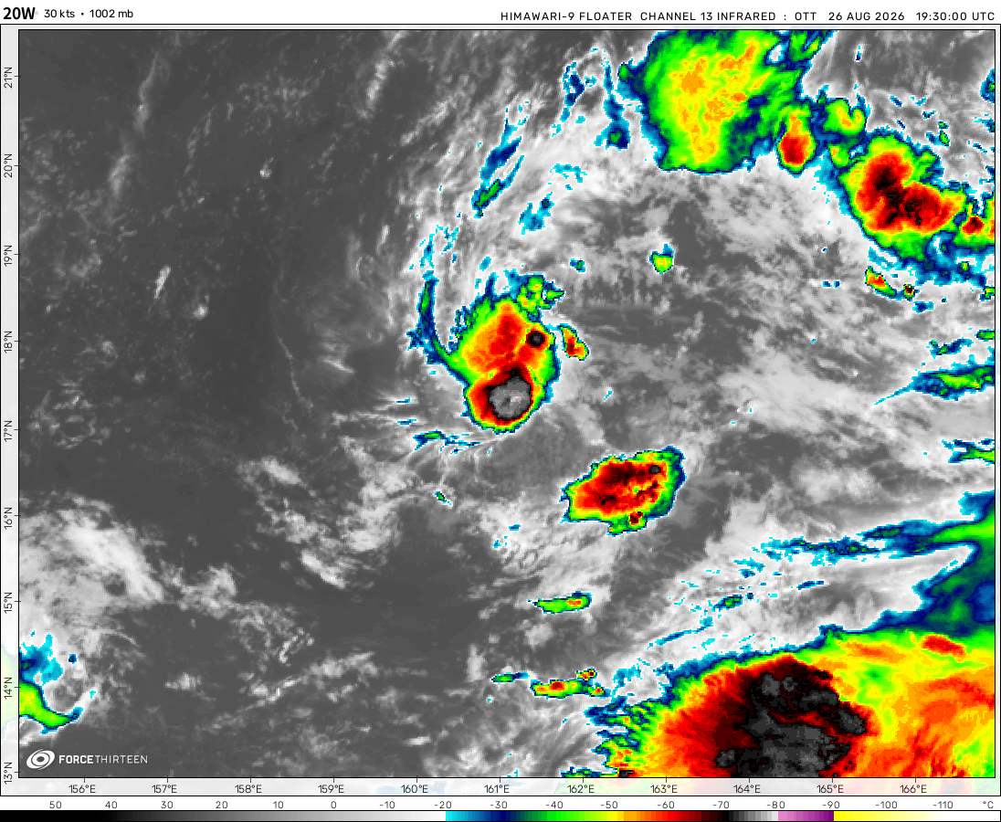 View more imageryAnimated GIF
 View more imageryAnimated GIF
 View more imageryAnimated GIF
 View more imageryAnimated GIF
 View more imageryAnimated GIF
So the disturbance does have a potential to form off the Atlantic coast of the US.
UPDATE
The Atlantic disturbance is now Invest AL93.
Imagine if Dexter is practically Chantal’s cousin.
I feel like it has gone completely under the radar that this, so far, is the least active North Indian Ocean season since 2012 in terms of named storms and depressions, with 0 named storms and 2 official depressions. Every other season since 2012 featured at least one named storm in the early peak.
Chantal is now the third named Atlantic storm within a two-week timeframe.
THIRD ATLANTIC DEPRESSION
Taiwan gets hit hard according to the GFS 06Z run… like really hard.
People’s Republic of China is at war with Taiwan?!
No that run predicted Danas to strike twice… once from the south, which it got fairly accurately, but it predicted the storm to turn-around and do it again from the north.
Happy 4th of July!!! 🎇 🇺🇸
and with this day comes the potential of a new atlantic system forming
The atlantic…is still quite inactive.
ALRIGHT INVEST AL92
Why is there just… this hotspot off the southeast of the Bahamas?
Seems edited… is this another photoshop?
IT’S NOT ACTUALLY A PHOTOSHOP CHECK THE SST PRODUCTS
https://www.force-13.com/products?type=sst&basin=natl
I dont see the hotspot, I knew it was a prank.
I’m actually not kidding.
That gif(Ji-f) is laggy…must be animated.
Are you joking Force23Fan? It’s been on there for days!
LIER
Wait…wrong photo, that was your edited photo, this is my screenshot
Ehm… exposed
You do know there is a file size limit of 2 megabytes, right? I had to convert my MOV video to a GIF with 5 FPS.
Aircraft reconnaissance is scheduled for the Atlantic disturbance now.
IT LOOKS MORE MAGENTA THAN IT LOOKS RED
NHC says Flossie 115mph winds! Major confirmed.
If I were in the UTC time zone (which I am not), I would probably be going OMG FLOSSIE BECOMEs A MAJOR HURRICANe AT 3 AM REAL OMG!!11!1111!111!!!!!111!!!1 because it’s 3 AM there.
The frontal boundary that will potentially be responsible for 03L’s formation is approaching the coast.
Hurricane Flossie is developing an eye
WOAHHHH THEY’RE THE SAME COLOR LOL!!!
Rapid intensification underway for Flossie.
zoom earth update, disturbance potential formation area colors now match the chance color(s), idk whether it just matches 48 hour or 7 day chance or is the median of the two colors/chances because they pushed the update when the only two nhc disturbances have a low formation chance
oh btw this disturbance coloring only shows up when you are viewing the disturbance
Hey guys, what do you think will be the peak 1-min sustained winds/mean sea-level pressures in the NATL and EPAC basins this year? My predictions are:
Potential NATL Max 1-Min Wind: 160 kt / 190 mph
Potential NATL Min Pressure: 880 mbar / 25.99 inHg
Potential EPAC Max 1-Min Wind: 155 kt / 175 mph
Potential EPAC Min Pressure: 900 mbar / 26.58 inHg
Oops, I can’t edit the comment now but 150 kt is 175 mph, not 155 kt.
I’ve been seeing this on the GFS runs lol. Especially the 18Z Jun 28 run, where GFS says the pressure will get to 974 millibars.
For once ICON is forecasting a storm into the somewhat far future. This is forecast hour +180 by the way.
And I will be going to florida by the 15th of august…when was that forecasted?
Didn’t you mean July 15th? Oh also, this was from the 12Z ICON run from yesterday, so F180 would be July 7th.
I KNEW IT!!! Remember when I kept bickering all about my predictions of it shifting northwest and slamming into Mexico with 45-mile-per-hour winds?
You kinda said before that it would have a chance of going into Texas or… Mississippi.