Tropical Storm Fay was located near 26.3°N, 45.5°W, or about 1230 miles (1980 km) southwest of Santa Cruz das Flores, Azores. Fay has maximum sustained winds of 35 knots and a minimum central pressure of 1011 millibars.
Tropical Storm Hanna was located near 36.1°N, 48.3°W, or about 824 miles (1325 km) south-southeast of St. John's, Newfoundland. Hanna has maximum sustained winds of 40 knots and a minimum central pressure of 1002 millibars.
ATCF®
- Latest Information -
As of September 29th 2026 at 01:01 UTC
Hurricane Nolo was located near 18.3°N, 163.5°W, or about 422 miles (678 km) west-southwest of Honolulu, Hawaii. Nolo has maximum sustained winds of 125 knots and a minimum central pressure of 936 millibars.
Hurricane Polo was located near 25.5°N, 112.8°W, or about 256 miles (412 km) northwest of Cabo San Lucas, Mexico. Polo has maximum sustained winds of 100 knots and a minimum central pressure of 963 millibars.
Tropical Storm Rachel was located near 14.3°N, 102.5°W, or about 239 miles (385 km) south-southwest of Zihuatanejo, Mexico. Rachel has maximum sustained winds of 50 knots and a minimum central pressure of 997 millibars.
Tropical Storm Surigae was located near 28.6°N, 133.9°E, or about 250 miles (403 km) northeast of Minami-Daitō Island, Japan. Surigae has maximum sustained winds of 55 knots and a minimum central pressure of 988 millibars.
Invest 91E was located near 14.4°N, 133.9°W, or about 1299 miles (2091 km) west of Clarion Island, Mexico. 91E has maximum sustained winds of 30 knots and a minimum central pressure of 1005 millibars.
Invest 93W was located near 15.4°N, 155.1°E, or about 696 miles (1119 km) north of Chuuk, Micronesia. 93W has maximum sustained winds of 20 knots and a minimum central pressure of 1008 millibars.
Invest 92W was located near 18.8°N, 97.4°E, or about 394 miles (634 km) east-southeast of Cox's Bazar, Bangladesh. 92W has maximum sustained winds of 20 knots and a minimum central pressure of 1006 millibars.
Cookies help us ensure our site works securely, continually make improvements, and personalize your browsing experience.
Click 'Accept All Cookies' to get the best browsing experience. You can change these settings at any time by clicking 'Manage My Cookies' below.
Functional
Always active
The technical storage or access is strictly necessary for the legitimate purpose of enabling the use of a specific service explicitly requested by the subscriber or user, or for the sole purpose of carrying out the transmission of a communication over an electronic communications network.
Preferences
The technical storage or access is necessary for the legitimate purpose of storing preferences that are not requested by the subscriber or user.
Statistics
The technical storage or access that is used exclusively for statistical purposes.The technical storage or access that is used exclusively for anonymous statistical purposes. Without a subpoena, voluntary compliance on the part of your Internet Service Provider, or additional records from a third party, information stored or retrieved for this purpose alone cannot usually be used to identify you.
Marketing
The technical storage or access is required to create user profiles to send advertising, or to track the user on a website or across several websites for similar marketing purposes.

 View more imageryAnimated GIF
 View more imageryAnimated GIF
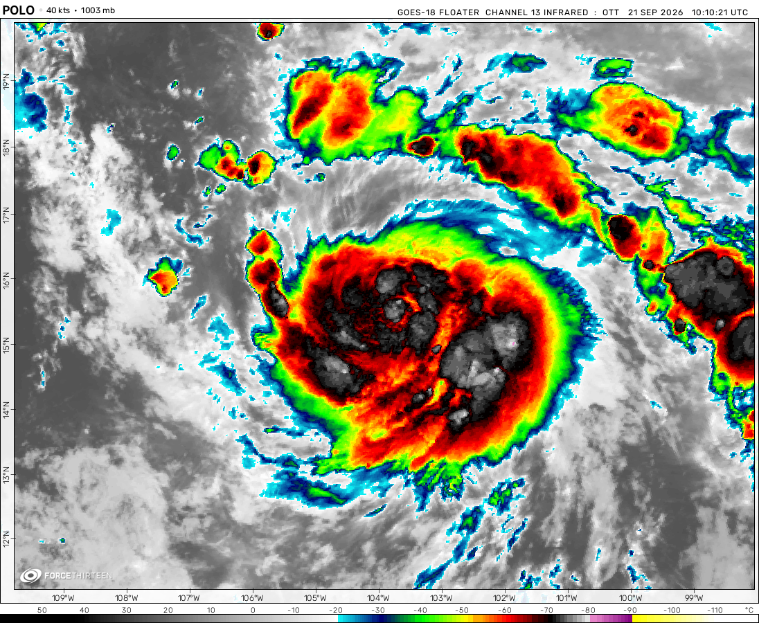 View more imageryAnimated GIF
 View more imageryAnimated GIF
 View more imageryAnimated GIF
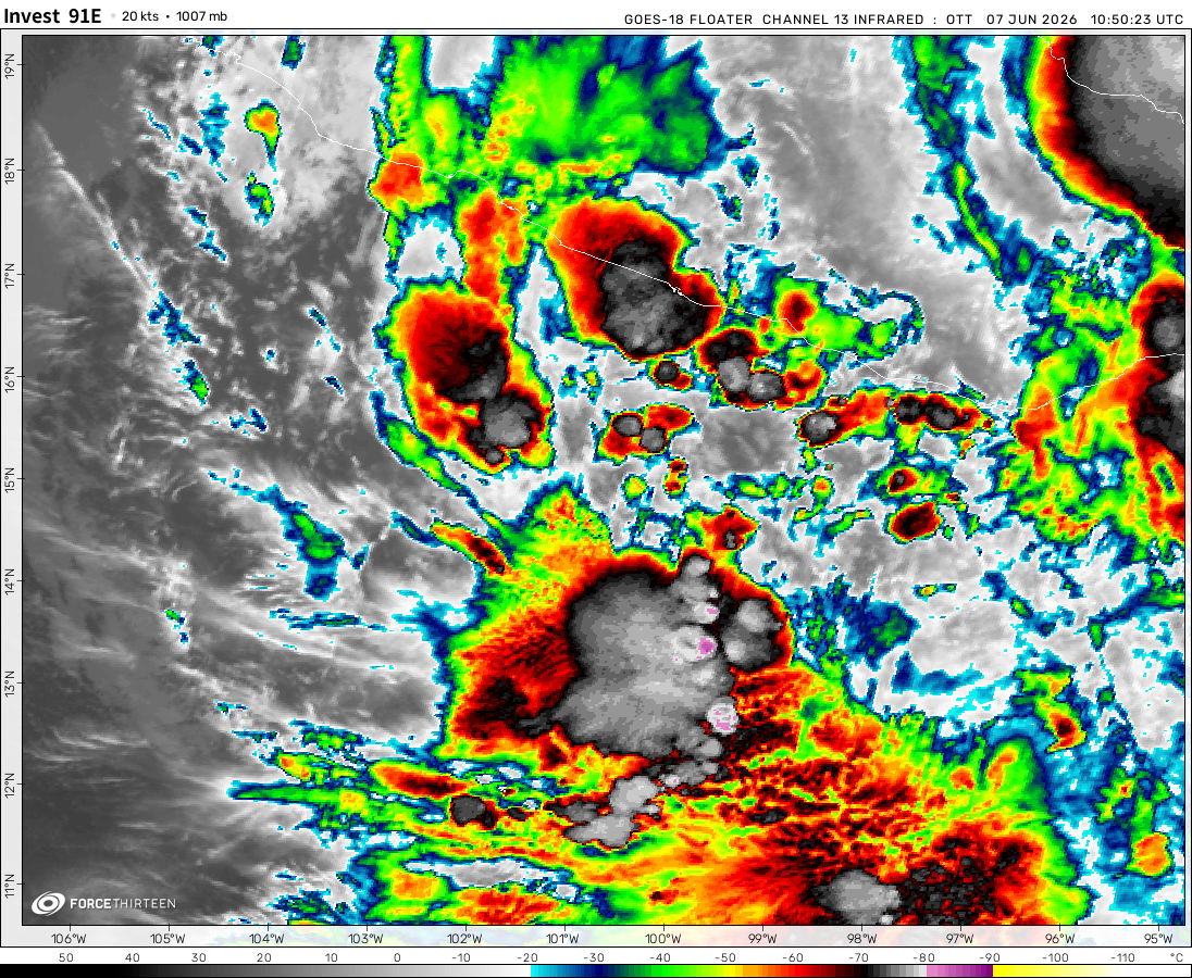 View more imageryAnimated GIF
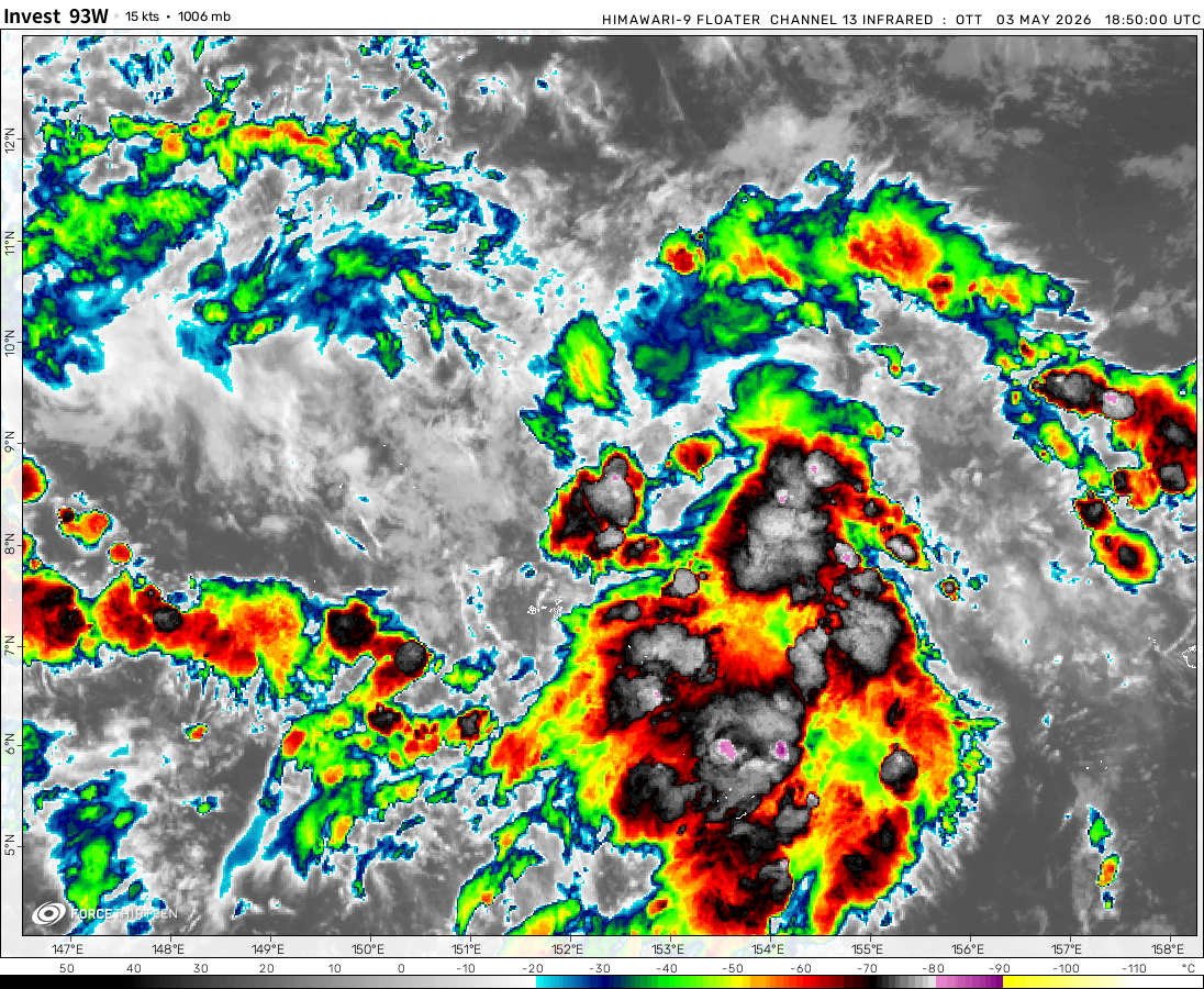 View more imageryAnimated GIF
 View more imageryAnimated GIF
It also has clearly defined eye
A category 3 once had a pressure of 979 mb,so wouldn’t Eloise at least be a category 2
Is eloise was cdps stage 5 and a category 2
I thought eloise was cdps stage 5 and a category 2
Super Hurricane Iota
Eloise and Joshua and Kimi are tycoons of 123mph winds
How do you think will 99s and 90s form?
90s will like become tropical cyclone
Those storms will be weak in 13 days
dorian was a strong cat 5
this is cool
what up with invest 98s
Pop
Da. Ex tropical cyclone. Imogen
yasa head to nz to dissipation
ts yasa near nz to hit nz
why is it dead?
oh no the eye of zazu gone
yasa and zazu is in track cat 5 whiches yasa zazu is a ts
Yay it’s back
Hello everyone