Tropical Storm Fay was located near 26.3°N, 45.5°W, or about 1230 miles (1980 km) southwest of Santa Cruz das Flores, Azores. Fay has maximum sustained winds of 35 knots and a minimum central pressure of 1008 millibars.
Tropical Storm Hanna was located near 36.1°N, 48.3°W, or about 824 miles (1325 km) south-southeast of St. John's, Newfoundland. Hanna has maximum sustained winds of 40 knots and a minimum central pressure of 1002 millibars.
ATCF®
- Latest Information -
As of September 29th 2026 at 06:02 UTC
Hurricane Nolo was located near 18.3°N, 163.5°W, or about 422 miles (678 km) west-southwest of Honolulu, Hawaii. Nolo has maximum sustained winds of 125 knots and a minimum central pressure of 936 millibars.
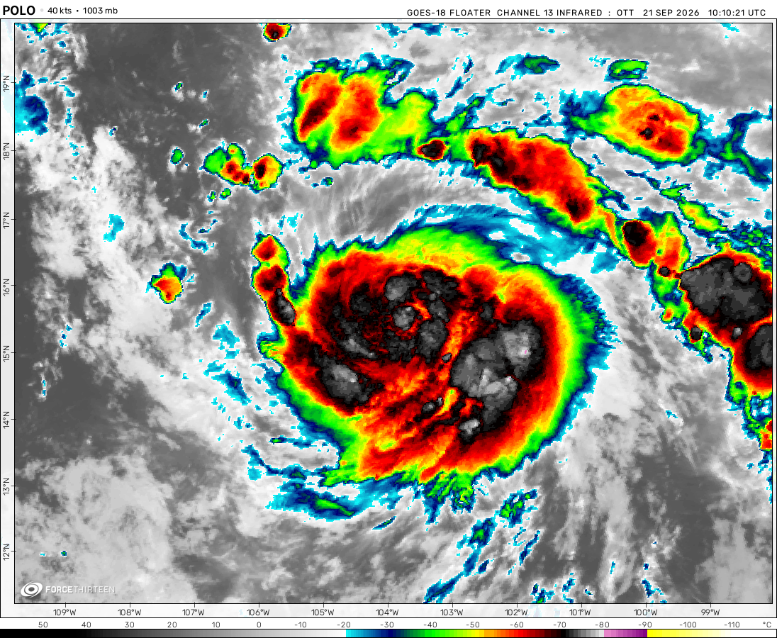
Hurricane Polo was located near 25.5°N, 112.8°W, or about 256 miles (412 km) northwest of Cabo San Lucas, Mexico. Polo has maximum sustained winds of 100 knots and a minimum central pressure of 963 millibars.
Tropical Storm Rachel was located near 14.3°N, 102.5°W, or about 239 miles (385 km) south-southwest of Zihuatanejo, Mexico. Rachel has maximum sustained winds of 50 knots and a minimum central pressure of 997 millibars.
Tropical Storm Surigae was located near 28.6°N, 133.9°E, or about 250 miles (403 km) northeast of Minami-Daitō Island, Japan. Surigae has maximum sustained winds of 50 knots and a minimum central pressure of 991 millibars.
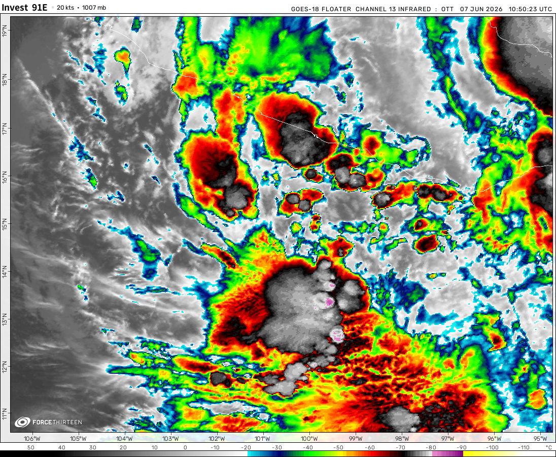
Invest 91E was located near 14.4°N, 133.9°W, or about 1299 miles (2091 km) west of Clarion Island, Mexico. 91E has maximum sustained winds of 30 knots and a minimum central pressure of 1005 millibars.
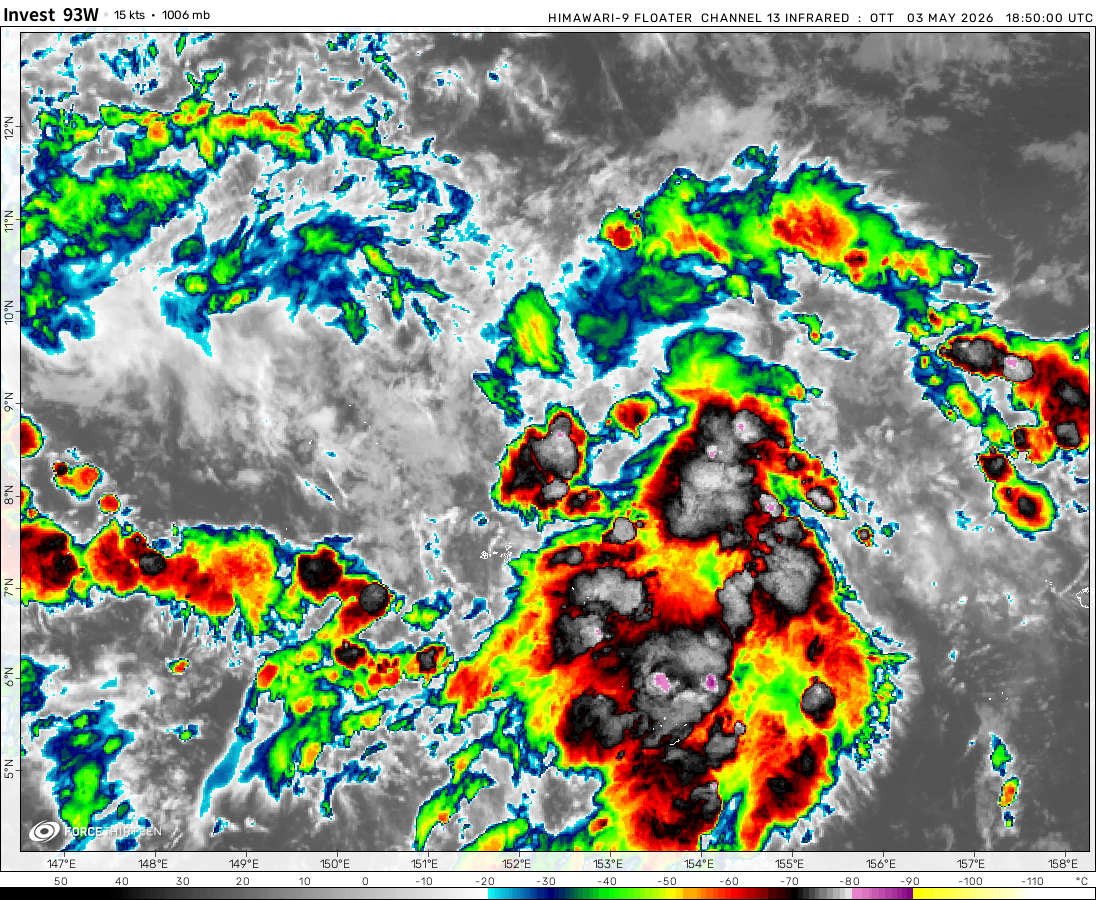
Invest 93W was located near 15.4°N, 155.0°E, or about 695 miles (1118 km) north of Chuuk, Micronesia. 93W has maximum sustained winds of 20 knots and a minimum central pressure of 1008 millibars.
Invest 92W was located near 18.8°N, 97.4°E, or about 394 miles (634 km) east-southeast of Cox's Bazar, Bangladesh. 92W has maximum sustained winds of 20 knots and a minimum central pressure of 1006 millibars.
Invest 96L in my opinion looks like a northeastern storm kinda like El Niño explained, storm either are steered to the northeast due to high wind shear, or they are destroyed in the high wind shear. Its path from what I’ve seen on my sources ( not gonna specify ) looks like even maybe I’m wrong I completely forgot about the Bermuda high😭😭😭
Yes but remember, these are very favorable conditions. No chance of wind shear until well into the Caribbean so depending on how fast the EWRC takes place, there is still plenty of time for rapid intensification before landfall. I wouldn’t be surprised if it’s a CAT 5 by morning but don’t quote me on that lol. Very exciting non the less.
Stormhunter2024
2 years ago
Zoom earth and windy.com are showing that it could be a category 5. Holy 💩
Stormhunter2024
2 years ago
Woke up to an eye and Beryl is expect to be a category 4 by NHC.
It’s like a 50/50, it did effect the Carribean and now Mexico is next but it will be weaker.
Stormhunter2024
2 years ago
What the heck is this mess ahead of Hurricane Beryl? It’s a bunch of circulating thunderstorms.
Stormhunter2024
2 years ago
Beryl now a Category 1 Hurricane. Good luck if you are in the way of this monster. 🙏
F0rce_23(ATlantichurricanehunter)
2 years ago
Thanks to force-13’s previous video, tropical storm Beryl now has greater chances of becomeing a hurricane later near barbados soon becoming a major hurricane possible cat 4. But as it passes over the islands it should mantain hurricane/major hurricane strength. As it gets closer to Jamaica, it will weaken into a hurricane but will strike and pose a large threat to the gulf coast. ANd then it weakens into a ttropical storm to soon effect texas…
Cookies help us ensure our site works securely, continually make improvements, and personalize your browsing experience.
Click 'Accept All Cookies' to get the best browsing experience. You can change these settings at any time by clicking 'Manage My Cookies' below.
Functional
Always active
The technical storage or access is strictly necessary for the legitimate purpose of enabling the use of a specific service explicitly requested by the subscriber or user, or for the sole purpose of carrying out the transmission of a communication over an electronic communications network.
Preferences
The technical storage or access is necessary for the legitimate purpose of storing preferences that are not requested by the subscriber or user.
Statistics
The technical storage or access that is used exclusively for statistical purposes.The technical storage or access that is used exclusively for anonymous statistical purposes. Without a subpoena, voluntary compliance on the part of your Internet Service Provider, or additional records from a third party, information stored or retrieved for this purpose alone cannot usually be used to identify you.
Marketing
The technical storage or access is required to create user profiles to send advertising, or to track the user on a website or across several websites for similar marketing purposes.

 View more imageryAnimated GIF
 View more imageryAnimated GIF
 View more imageryAnimated GIF
 View more imageryAnimated GIF
 View more imageryAnimated GIF
 View more imageryAnimated GIF
 View more imageryAnimated GIF
 View more imageryAnimated GIF
Invest 96L in my opinion looks like a northeastern storm kinda like El Niño explained, storm either are steered to the northeast due to high wind shear, or they are destroyed in the high wind shear. Its path from what I’ve seen on my sources ( not gonna specify ) looks like even maybe I’m wrong I completely forgot about the Bermuda high😭😭😭
Just became a CAT 5 correct?
It should be, but NHC hasn’t updated
…
Do you think Beryl is becoming Emily 2.0 (2005)
Congrats for being a Major for the first time Beryl!
If Beryl becomes a C5, it could become the earliest C5 on record in the basin, surpassing Emily (2005)!
Beryl reforming the deep convections.
Also someone please update the live tracker to keep the storms’ info fresh.
Thank you
Looks like it’s currently going through an Eye Wall replacement cycle. Signs of possible further strengthening.
an EWRC usually weaken the storm, but who knows???
Yes but remember, these are very favorable conditions. No chance of wind shear until well into the Caribbean so depending on how fast the EWRC takes place, there is still plenty of time for rapid intensification before landfall. I wouldn’t be surprised if it’s a CAT 5 by morning but don’t quote me on that lol. Very exciting non the less.
Zoom earth and windy.com are showing that it could be a category 5. Holy 💩
Woke up to an eye and Beryl is expect to be a category 4 by NHC.
Please update the website, this is so outdated
Hi there,
Due to heavy traffic, we have enabled caching to speed up the performance of the website.
Try refreshing your browser to fix the issue.
-Jason
Thank you for the information.
I see an eye on Zoom Earth starting to show.
I don’t care what you say, it’s going to be a category 4.
Am I the only that see an eye forming based on the wind shear making a ring around the center of the beryl.
It looks like it is going to reach between lower cat 3 and lower mid cat 3
Also, who else thinks Beryl will be retired?
It’s like a 50/50, it did effect the Carribean and now Mexico is next but it will be weaker.
What the heck is this mess ahead of Hurricane Beryl? It’s a bunch of circulating thunderstorms.
Beryl now a Category 1 Hurricane. Good luck if you are in the way of this monster. 🙏
Thanks to force-13’s previous video, tropical storm Beryl now has greater chances of becomeing a hurricane later near barbados soon becoming a major hurricane possible cat 4. But as it passes over the islands it should mantain hurricane/major hurricane strength. As it gets closer to Jamaica, it will weaken into a hurricane but will strike and pose a large threat to the gulf coast. ANd then it weakens into a ttropical storm to soon effect texas…
What do yall think about this forcast?
I Can’t believe we might have a Category 4 before July.
Chris and Debby are expected to develop before July 10.
94L will likely become a Category 1, while 96L will likely also be a major.
very good outflow from Beryl
Beryl might be retired if it keeps on intensifying like this.
Beryl might actually become a Category 4, Windy.com might be right… 😰
that scenario is getting more concerning
94L expected to be a 60mph Tropical Storm?
Possible Chris?