Tropical Storm Fay was located near 26.3°N, 45.5°W, or about 1230 miles (1980 km) southwest of Santa Cruz das Flores, Azores. Fay has maximum sustained winds of 35 knots and a minimum central pressure of 1008 millibars.
Tropical Storm Hanna was located near 36.1°N, 48.3°W, or about 824 miles (1325 km) south-southeast of St. John's, Newfoundland. Hanna has maximum sustained winds of 40 knots and a minimum central pressure of 1002 millibars.
ATCF®
- Latest Information -
As of September 29th 2026 at 04:31 UTC
Hurricane Nolo was located near 18.3°N, 163.5°W, or about 422 miles (678 km) west-southwest of Honolulu, Hawaii. Nolo has maximum sustained winds of 125 knots and a minimum central pressure of 936 millibars.
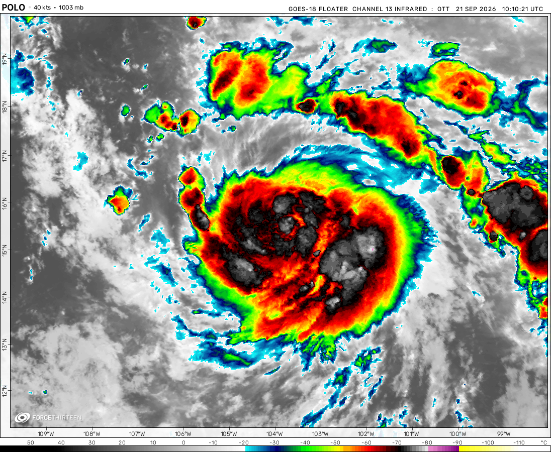
Hurricane Polo was located near 25.5°N, 112.8°W, or about 256 miles (412 km) northwest of Cabo San Lucas, Mexico. Polo has maximum sustained winds of 100 knots and a minimum central pressure of 963 millibars.
Tropical Storm Rachel was located near 14.3°N, 102.5°W, or about 239 miles (385 km) south-southwest of Zihuatanejo, Mexico. Rachel has maximum sustained winds of 50 knots and a minimum central pressure of 997 millibars.
Tropical Storm Surigae was located near 28.6°N, 133.9°E, or about 250 miles (403 km) northeast of Minami-Daitō Island, Japan. Surigae has maximum sustained winds of 55 knots and a minimum central pressure of 988 millibars.
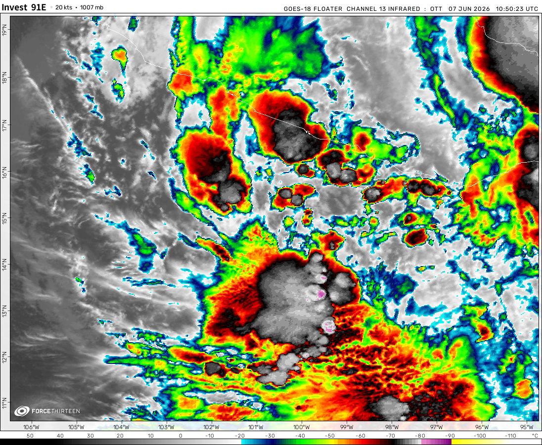
Invest 91E was located near 14.4°N, 133.9°W, or about 1299 miles (2091 km) west of Clarion Island, Mexico. 91E has maximum sustained winds of 30 knots and a minimum central pressure of 1005 millibars.
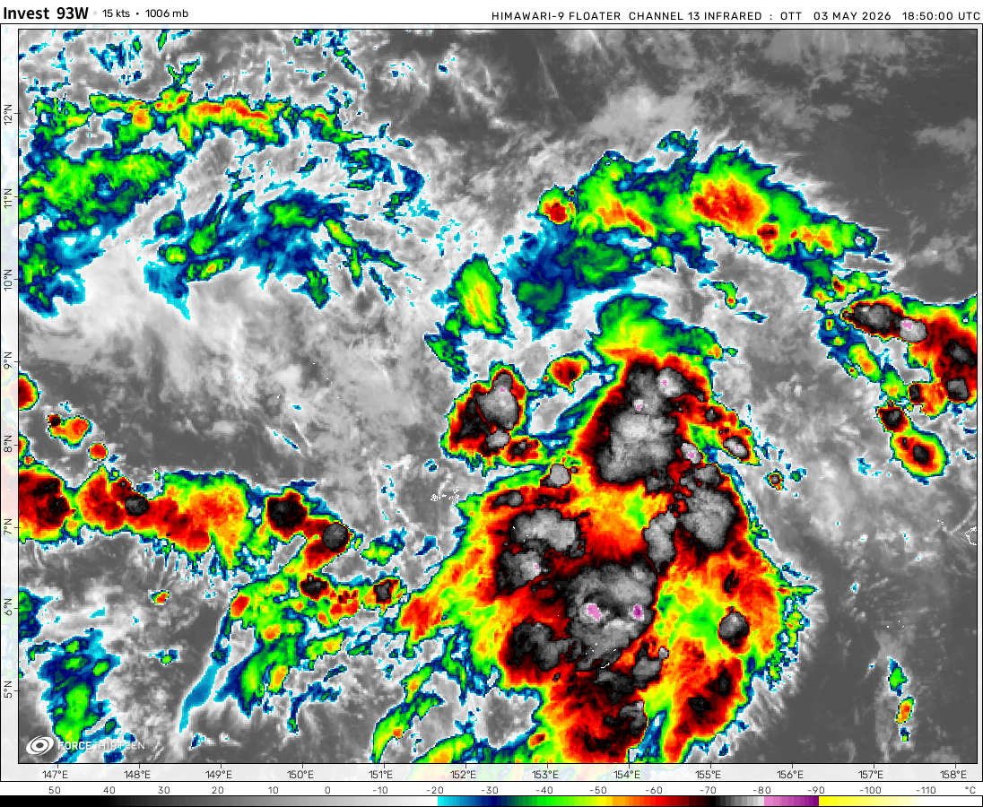
Invest 93W was located near 15.5°N, 155.0°E, or about 700 miles (1126 km) east-northeast of Hagåtña, Guam. 93W has maximum sustained winds of 20 knots and a minimum central pressure of 1008 millibars.
Invest 92W was located near 18.8°N, 97.4°E, or about 394 miles (634 km) east-southeast of Cox's Bazar, Bangladesh. 92W has maximum sustained winds of 20 knots and a minimum central pressure of 1006 millibars.
I try to look up how this kind of double side-by-side eye forms but all I get is an eye resting in another eye a concentric eyewall I DON’T WANT THAT I want this kind of double eye but no results
Sometimes a storm develops a second eyewall to replace a weakening inner eye. Concentric eyewall cycles (or eyewall replacement cycles) naturally occur in intense tropical cyclones like major hurricanes with winds greater than 115 mph. These hurricanes are Categories 3, 4, and 5 on the Saffir-Simpson scale
there’s nothing called “unexpected, surprise, overperformed” in the storms, it’s just our capability is limited, so we cannot foresee the cyclones with 100% accuracy (Otis of the 2023 for example), physic tells them what they should do (it’s the so-called “instructions” that we cannot read). I can do nothing to change the situation, so it’s best to raise awareness that we are still walking into the unknown, uncharted area. thanks for reading this
Here are two links about the possibilities of why Hurricane Otis rapidly intensified into a CAT-5 hurricane and the last link shows some of Hurricane Otis’s records
Hurricane Otis defied all of my expectations but Hurricane Hilary survived as a TC into California and Dora as a long-lasting storm that crossed the entire Pacific BUT Hurricane Jova was a warning about what was to come and Hurricane Otis was a TS at dawn and was a CAT 5 at dusk and from the first live stream for Typhoon Mawar which Ethan was hosting he said for eye temp 40C in 40mins and he also said A LOT OF PEOPLE HEAVLY UNDERESTIMATE HOW FAST THESE STORMS CAN INTENSIFY so Otis definitely prove the extreme potential these storms can have when the conditions are just right but still that is INSANE
the first half of the track is actually more likely to happen: a strong super typhoon that get caught in a front and turning extratropical at peak intensity?
Cookies help us ensure our site works securely, continually make improvements, and personalize your browsing experience.
Click 'Accept All Cookies' to get the best browsing experience. You can change these settings at any time by clicking 'Manage My Cookies' below.
Functional
Always active
The technical storage or access is strictly necessary for the legitimate purpose of enabling the use of a specific service explicitly requested by the subscriber or user, or for the sole purpose of carrying out the transmission of a communication over an electronic communications network.
Preferences
The technical storage or access is necessary for the legitimate purpose of storing preferences that are not requested by the subscriber or user.
Statistics
The technical storage or access that is used exclusively for statistical purposes.The technical storage or access that is used exclusively for anonymous statistical purposes. Without a subpoena, voluntary compliance on the part of your Internet Service Provider, or additional records from a third party, information stored or retrieved for this purpose alone cannot usually be used to identify you.
Marketing
The technical storage or access is required to create user profiles to send advertising, or to track the user on a website or across several websites for similar marketing purposes.

 View more imageryAnimated GIF
 View more imageryAnimated GIF
 View more imageryAnimated GIF
 View more imageryAnimated GIF
 View more imageryAnimated GIF
 View more imageryAnimated GIF
 View more imageryAnimated GIF
 View more imageryAnimated GIF
Gilma hasa double eye
I try to look up how this kind of double side-by-side eye forms but all I get is an eye resting in another eye a concentric eyewall I DON’T WANT THAT I want this kind of double eye but no results
I literally posted a screenshot of that on Scratch! I was shocked when i saw this.
Sometimes a storm develops a second eyewall to replace a weakening inner eye. Concentric eyewall cycles (or eyewall replacement cycles) naturally occur in intense tropical cyclones like major hurricanes with winds greater than 115 mph. These hurricanes are Categories 3, 4, and 5 on the Saffir-Simpson scale
Sometimes a second Eye can develop
Hurricane Gilma is undergoing an eyewall replacement cycle
💀💀💀💀💀💀💀💀💀 umm
Was special everthere on satellite?
Dude i was so lucky to see this because a few hours later it got removed.
Gilma does look like Beryl dying (also why the prick can it have deep convection?)
WHATS THE RARITY OF THIS CLASSIFICATION NALGAE GOT IN 2017?
SSS???
2021-2023 World wide cyclone season animations?
I’ve been waiting 3, 2, and 1 years
I wanted more worldwide cyclone animations but 2021, 2022, 2023 looks like they are a bit delayed
K
God no
HONE HAS FORMED
https://www.tropicaltidbits.com/analysis/models/?model=hafsb-p®ion=01C&pkg=satIR&runtime=2024082212&fh=126
Hurricane HONE
there’s nothing called “unexpected, surprise, overperformed” in the storms, it’s just our capability is limited, so we cannot foresee the cyclones with 100% accuracy (Otis of the 2023 for example), physic tells them what they should do (it’s the so-called “instructions” that we cannot read). I can do nothing to change the situation, so it’s best to raise awareness that we are still walking into the unknown, uncharted area. thanks for reading this
Here are two links about the possibilities of why Hurricane Otis rapidly intensified into a CAT-5 hurricane and the last link shows some of Hurricane Otis’s records
My Radar
https://www.youtube.com/watch?v=xtGR6GYk4No
PBS Terra
https://www.youtube.com/shorts/EcNvC2B3WLQ
CNN
https://www.youtube.com/shorts/TU4IXzJassI
Hurricane Otis defied all of my expectations but Hurricane Hilary survived as a TC into California and Dora as a long-lasting storm that crossed the entire Pacific BUT Hurricane Jova was a warning about what was to come and Hurricane Otis was a TS at dawn and was a CAT 5 at dusk and from the first live stream for Typhoon Mawar which Ethan was hosting he said for eye temp 40C in 40mins and he also said A LOT OF PEOPLE HEAVLY UNDERESTIMATE HOW FAST THESE STORMS CAN INTENSIFY so Otis definitely prove the extreme potential these storms can have when the conditions are just right but still that is INSANE
and now we have Gilma and possibly Hone, which become hurricanes (they shouldn’t be, since the SSTs are not that warm)
potential invest in the south china sea???
Hone has formed 🥳
Hone
HONE
CPAC STORM!!
Wow gilma strengened fast
Hiyan and katrina
It’s Haiyan
I Forgot How to spell it
You are forgiven
Gilma with the curved CDO, seems to be trying to wrap up and explode
Track of Hypothetical Super Typhoon Shanshan 2028
the first half of the track is actually more likely to happen: a strong super typhoon that get caught in a front and turning extratropical at peak intensity?
True
True